Puntos clave
- Before the road there were only rullekjerre tracks, fit for a rough two-wheeled cart and not much else. The crossing through Ottadalen toward Geiranger was begun in 1860.
- A 1918 regulation stated plainly that driving a motor vehicle was forbidden on the main road between Otta and Grotli and onward toward Geiranger.
- By 1926 a Norwegian motoring magazine held that no road in Switzerland could compare in engineering excellence with the descent from Grotli to Merok.
- The road up to the summit of Dalsnibba, where the tour ends, was still being built in 1937 and expected to take another couple of years.
Before there was a road
The coach that carries you to Dalsnibba climbs a mountain crossing that is younger than it looks, and the record of how it was built is not in newspapers. It is in books, road reports and motoring journals, and it is a good deal less triumphant than the view suggests.
A 1927 volume on the art of travel puts the beginning at 1860, and notes what there had been until then: rullekjerreveier [1]. A rullekjerre was a rough two-wheeled cart, and a rullekjerrevei was a track that would take one. That was the connection between the Geirangerfjord and the interior of Norway.
In 1923 a history of Aalesund recorded the next stage: the road from Merok to Skjaak came about, and in 1877 a proper chaussee was staked out by the road director Krag and Captain Rosenquist [2]. Naming the men is a small thing, but archives do it and guidebooks do not.
Geiranger mountain road history, told by the people using it
A pocket travel guide for 1886 described a poor cart road under construction between Skjaak and Geiranger [3]. Tarvelig is the word it used, and it means shabby, or barely adequate. The road that is now photographed from the air was, to the people who had to use it, not much of a road at all.
In 1899 a sporting journal carried an account from two cyclists who had come over from Geiranger to Grotli and had to lead their machines about a Norwegian mile over snow on the way [4]. They believed they were the first tourists to cross the mountain that year, and probably the first in a long time.
By 1914 the traffic had changed and so had the worry. A departmental committee reported that the road down to Geiranger was very difficult and dangerous to drive by motor car [5]. It is the same descent your coach makes, taken slowly, in a vehicle built for it.
The years the road was closed to cars
The most surprising document in the set is the flattest. An annual supplement for 1918 sets out, as a plain rule, that driving a motor vehicle was forbidden on the main road between Otta and Grotli and onward toward the county boundary at Geiranger [6].
Not restricted. Not discouraged. Forbidden. The road existed, the cars existed, and for a period the two were kept apart by regulation, presumably because a road built for horses and carts could not safely hold both at once.
That did not last, and the arrangement that replaced it was almost as strange. In 1935 a motoring magazine printed complaints that the timed one-way running still in force between Grotli and Geiranger was not being observed [10]. Traffic went up the mountain and down it in scheduled blocks, and drivers were cheating.
The descent that a Norwegian motoring magazine in 1926 held no road in Switzerland could match, and that a departmental report had called dangerous for motor cars twelve years earlier.
The road becomes the attraction
Somewhere in these decades the road stopped being the difficult part of the journey and became a reason for it. By 1926 a Norwegian motoring magazine was prepared to say that there is certainly no road in Switzerland which can compare in engineering excellence with the road from Grotli down to Merok at the Geirangerfjord [11]. For a Norwegian writer in the 1920s, that is not a modest claim to make.
In 1928 a travel review called the finished crossing from Otta over Grotli to Nordfjord and Merok the road director Krag's great work [12]. A generation earlier the same route had been a shabby cart track under construction.
A 1932 description gives the arrival as a passenger still experiences it. The road passes the grey rock mass of Grautnebba and comes out at Merok, where from the terrace of the hotel you look out over the basin the village sits in [9]. Grautnebba is on no tourist map today, and the name appears nowhere on the open web, but it is the last landmark before the fjord opens up.
Snow decides the season, and always has
Every account in this set is finally about snow. In 1924 a travellers' association magazine reported heavy snowfall in the Gudbrandsdal mountains as early as mid-September, closing the Otta to Geiranger motor route after it had run for only part of a season [7].
That has not fundamentally changed. The crossing you are driven over still closes for a large part of every year, and the tour you have booked exists in the window between one clearing and the next.
The last piece arrived latest of all. In 1937 a motoring magazine reported that work had begun on the road up to the summit of Dalsnibba, and expected it to be finished in a couple of years [8]. The viewpoint at the end of your tour is the newest thing on the whole route.
What to watch for on the way up
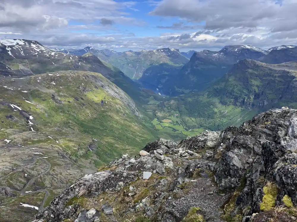
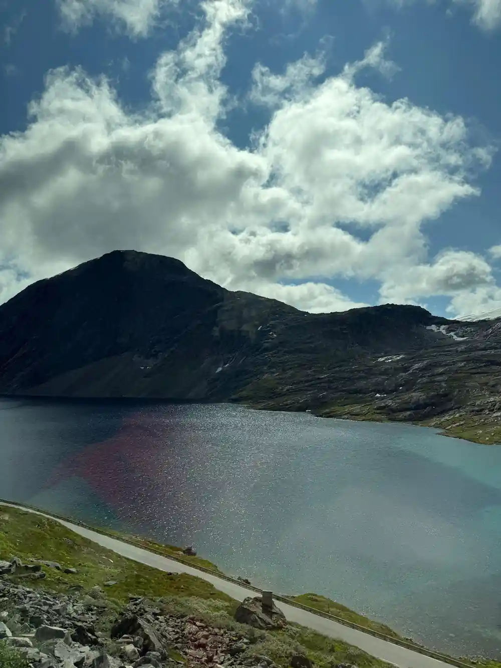
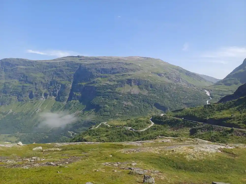
None of this is visible from a coach window unless you know it is there, and then most of it is. The hairpins exist because a road built for horses had to gain height without gradient. The passing places exist because two vehicles could not always pass. The road is narrow at the top because widening rock is expensive and always was.
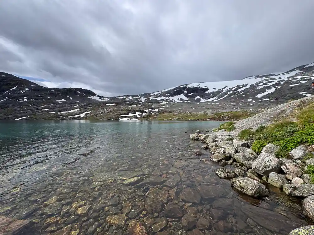
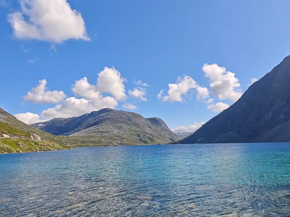
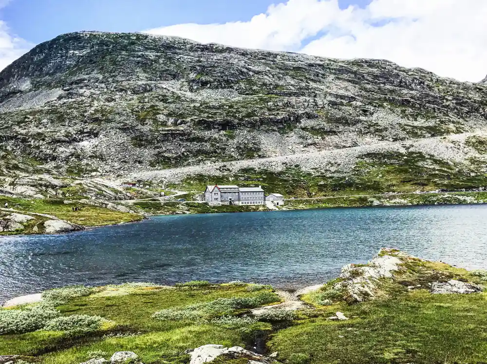
Grautnebba is the grey mass on the descent, named in a book in 1932 and effectively unnamed since. Djupvatnet, which you pass, was described in 1900 as still carrying its winter ice in July.
The drive is presented as scenery, and it is. It is also a piece of nineteenth century public works that took seventy-seven years to reach the summit your tour stops at, and which spent part of that time legally closed to the kind of vehicle you are sitting in.
Seventy-seven years of one mountain crossing
1860: the road is begun
Work starts on the crossing through Ottadalen toward Geiranger. Until then the connection is by rullekjerreveier, tracks fit for a rough two-wheeled cart. [1]
1877: a chaussee is staked out
The road from Merok to Skjaak comes about, and a proper chaussee is laid out by road director Krag and Captain Rosenquist. [2]
1886: still a poor road
A pocket travel guide describes a tarvelig, meaning shabby, cart road under construction between Skjaak and Geiranger. [3]
1899: over the snow by bicycle
Two cyclists cross from Geiranger to Grotli, leading their machines about a Norwegian mile over snow, and believe they are the first tourists over the mountain that year. [4]
1914: dangerous for motor cars
A departmental committee reports that the road down to Geiranger is very difficult and dangerous to drive by motor car. [5]
1918: cars forbidden
A regulation states that driving a motor vehicle is forbidden on the main road between Otta and Grotli and onward toward Geiranger. [6]
1924: closed by September snow
Heavy snowfall in the Gudbrandsdal mountains in mid-September closes the Otta to Geiranger motor route. [7]
1926: better than Switzerland
A motoring magazine judges that no road in Switzerland can compare in engineering excellence with the road from Grotli down to Merok. [11]
1935: timed one-way running
Complaints are printed that the scheduled one-way running still in force between Grotli and Geiranger is not being observed. [10]
1937: the summit road begins
Work starts on the road up to the summit of Dalsnibba, expected to be finished in a couple of years. [8]