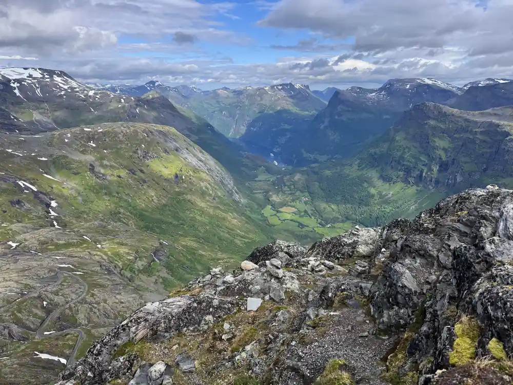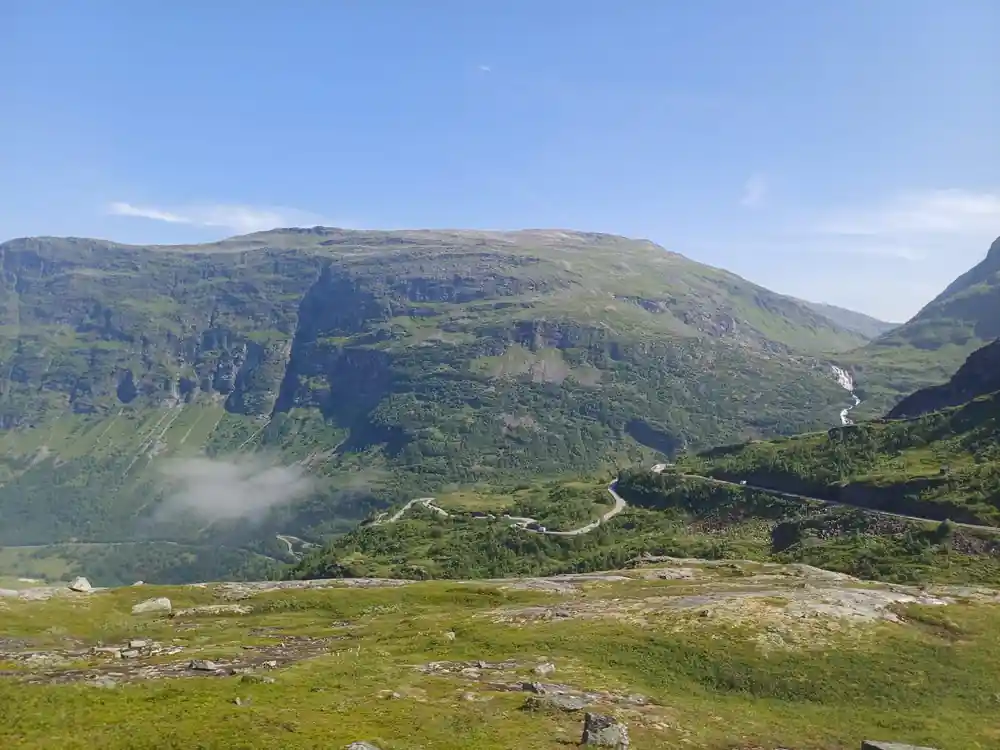
Mountain valley with road winding through green landscape

The Way In

Grautnebba: The Road to Geiranger When Cars Were Banned From It

Key takeaways

  • Before the road there were only rullekjerre tracks, fit for a rough two-wheeled cart and not much else. The crossing through Ottadalen toward Geiranger was begun in 1860.
  • A 1918 regulation stated plainly that driving a motor vehicle was forbidden on the main road between Otta and Grotli and onward toward Geiranger.
  • By 1926 a Norwegian motoring magazine held that no road in Switzerland could compare in engineering excellence with the descent from Grotli to Merok.
  • The road up to the summit of Dalsnibba, where the tour ends, was still being built in 1937 and expected to take another couple of years.

Before there was a road

The coach that carries you to Dalsnibba climbs a mountain crossing that is younger than it looks, and the record of how it was built is not in newspapers. It is in books, road reports and motoring journals, and it is a good deal less triumphant than the view suggests.

A 1927 volume on the art of travel puts the beginning at 1860, and notes what there had been until then: rullekjerreveier [1]. A rullekjerre was a rough two-wheeled cart, and a rullekjerrevei was a track that would take one. That was the connection between the Geirangerfjord and the interior of Norway.

In 1923 a history of Aalesund recorded the next stage: the road from Merok to Skjaak came about, and in 1877 a proper chaussee was staked out by the road director Krag and Captain Rosenquist [2]. Naming the men is a small thing, but archives do it and guidebooks do not.

Geiranger mountain road history, told by the people using it

A pocket travel guide for 1886 described a poor cart road under construction between Skjaak and Geiranger [3]. Tarvelig is the word it used, and it means shabby, or barely adequate. The road that is now photographed from the air was, to the people who had to use it, not much of a road at all.

In 1899 a sporting journal carried an account from two cyclists who had come over from Geiranger to Grotli and had to lead their machines about a Norwegian mile over snow on the way [4]. They believed they were the first tourists to cross the mountain that year, and probably the first in a long time.

By 1914 the traffic had changed and so had the worry. A departmental committee reported that the road down to Geiranger was very difficult and dangerous to drive by motor car [5]. It is the same descent your coach makes, taken slowly, in a vehicle built for it.

The years the road was closed to cars

The most surprising document in the set is the flattest. An annual supplement for 1918 sets out, as a plain rule, that driving a motor vehicle was forbidden on the main road between Otta and Grotli and onward toward the county boundary at Geiranger [6].

Not restricted. Not discouraged. Forbidden. The road existed, the cars existed, and for a period the two were kept apart by regulation, presumably because a road built for horses and carts could not safely hold both at once.

That did not last, and the arrangement that replaced it was almost as strange. In 1935 a motoring magazine printed complaints that the timed one-way running still in force between Grotli and Geiranger was not being observed [10]. Traffic went up the mountain and down it in scheduled blocks, and drivers were cheating.
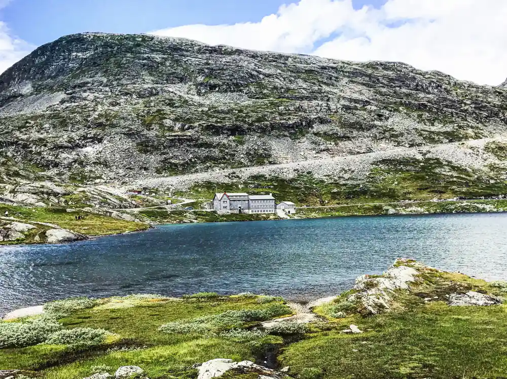
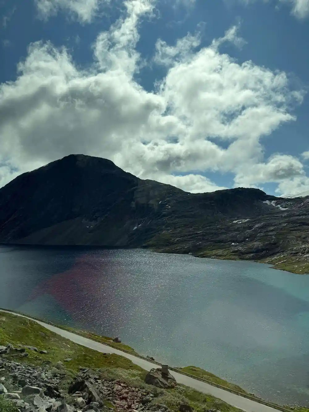
White lodge building beside turquoise lake under rocky mountain

The descent that a Norwegian motoring magazine in 1926 held no road in Switzerland could match, and that a departmental report had called dangerous for motor cars twelve years earlier.

The road becomes the attraction

Somewhere in these decades the road stopped being the difficult part of the journey and became a reason for it. By 1926 a Norwegian motoring magazine was prepared to say that there is certainly no road in Switzerland which can compare in engineering excellence with the road from Grotli down to Merok at the Geirangerfjord [11]. For a Norwegian writer in the 1920s, that is not a modest claim to make.

In 1928 a travel review called the finished crossing from Otta over Grotli to Nordfjord and Merok the road director Krag's great work [12]. A generation earlier the same route had been a shabby cart track under construction.

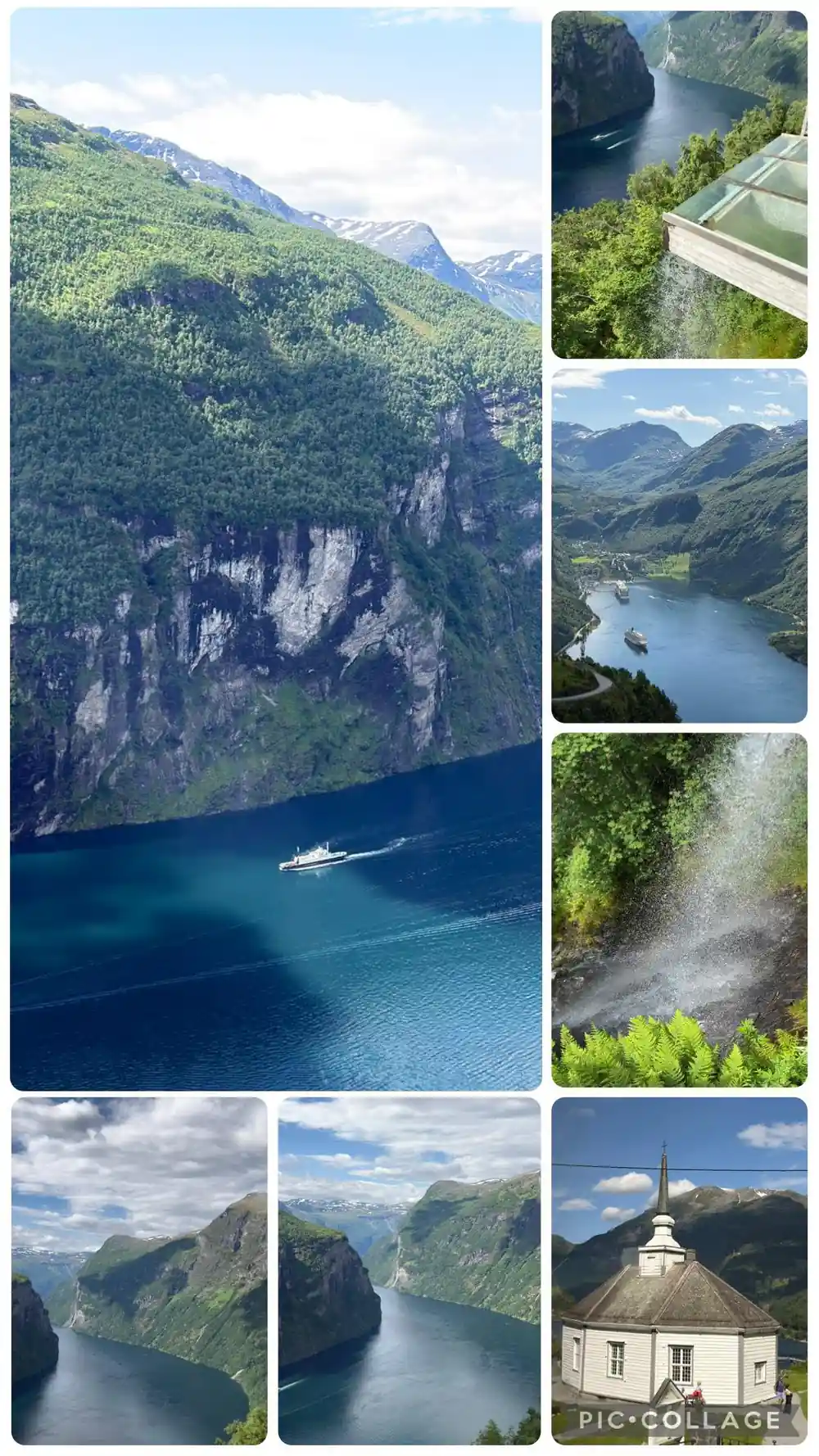
A 1932 description gives the arrival as a passenger still experiences it. The road passes the grey rock mass of Grautnebba and comes out at Merok, where from the terrace of the hotel you look out over the basin the village sits in [9]. Grautnebba is on no tourist map today, and the name appears nowhere on the open web, but it is the last landmark before the fjord opens up.

Snow decides the season, and always has

Every account in this set is finally about snow. In 1924 a travellers' association magazine reported heavy snowfall in the Gudbrandsdal mountains as early as mid-September, closing the Otta to Geiranger motor route after it had run for only part of a season [7].

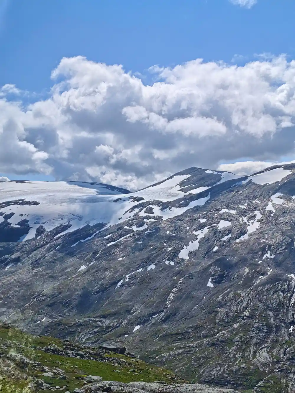
That has not fundamentally changed. The crossing you are driven over still closes for a large part of every year, and the tour you have booked exists in the window between one clearing and the next.

The last piece arrived latest of all. In 1937 a motoring magazine reported that work had begun on the road up to the summit of Dalsnibba, and expected it to be finished in a couple of years [8]. The viewpoint at the end of your tour is the newest thing on the whole route.

What to watch for on the way up

None of this is visible from a coach window unless you know it is there, and then most of it is. The hairpins exist because a road built for horses had to gain height without gradient. The passing places exist because two vehicles could not always pass. The road is narrow at the top because widening rock is expensive and always was.

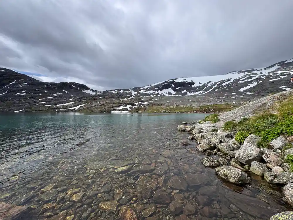
Grautnebba is the grey mass on the descent, named in a book in 1932 and effectively unnamed since. Djupvatnet, which you pass, was described in 1900 as still carrying its winter ice in July.

The drive is presented as scenery, and it is. It is also a piece of nineteenth century public works that took seventy-seven years to reach the summit your tour stops at, and which spent part of that time legally closed to the kind of vehicle you are sitting in.

Seventy-seven years of one mountain crossing

  1. 1860: the road is begun

    Work starts on the crossing through Ottadalen toward Geiranger. Until then the connection is by rullekjerreveier, tracks fit for a rough two-wheeled cart. [1]

  2. 1877: a chaussee is staked out

    The road from Merok to Skjaak comes about, and a proper chaussee is laid out by road director Krag and Captain Rosenquist. [2]

  3. 1886: still a poor road

    A pocket travel guide describes a tarvelig, meaning shabby, cart road under construction between Skjaak and Geiranger. [3]

  4. 1899: over the snow by bicycle

    Two cyclists cross from Geiranger to Grotli, leading their machines about a Norwegian mile over snow, and believe they are the first tourists over the mountain that year. [4]

  5. 1914: dangerous for motor cars

    A departmental committee reports that the road down to Geiranger is very difficult and dangerous to drive by motor car. [5]

  6. 1918: cars forbidden

    A regulation states that driving a motor vehicle is forbidden on the main road between Otta and Grotli and onward toward Geiranger. [6]

  7. 1924: closed by September snow

    Heavy snowfall in the Gudbrandsdal mountains in mid-September closes the Otta to Geiranger motor route. [7]

  8. 1926: better than Switzerland

    A motoring magazine judges that no road in Switzerland can compare in engineering excellence with the road from Grotli down to Merok. [11]

  9. 1935: timed one-way running

    Complaints are printed that the scheduled one-way running still in force between Grotli and Geiranger is not being observed. [10]

  10. 1937: the summit road begins

    Work starts on the road up to the summit of Dalsnibba, expected to be finished in a couple of years. [8]
Drive the road it took seventy-seven years to finish

Check availability

Before you book

Were motor vehicles really banned from the Geiranger road?
Yes. A 1918 annual supplement sets out as a plain rule that driving a motor vehicle was forbidden on the main road between Otta and Grotli and onward toward Geiranger. [6]
What is Grautnebba?
A grey rock mass on the descent into Merok, named in a 1932 description of the route as the last landmark before the village. [9] It appears on no tourist map today and returns nothing on the open web.
When was the road built?
The crossing through Ottadalen was begun in 1860 [1], a chaussee was staked out in 1877 by road director Krag and Captain Rosenquist [2], and the road to the Dalsnibba summit was still under construction in 1937 [8].
What was there before the road?
Rullekjerreveier: tracks fit for a rough two-wheeled cart. [1] Goods moved over the mountain by pack horse, and in winter often not at all.
How early can snow close the route?
In 1924 heavy snow in the Gudbrandsdal mountains closed the Otta to Geiranger motor route as early as mid-September. [7] The crossing is still seasonal, which is why this tour runs when it does.
Where do these facts come from?
From books, official reports and motoring journals held by the National Library of Norway, published between 1886 and 1937. Every statement names the work and the year that printed it.

From the archive

More of the road, year by year

Each line is a separate document. The year is the year it was printed.

  • 1883 In Geiranger flooding swept away several small bridges and damaged the new road. [24]
  • 1887 The new road over Grjotlid to Geiranger, called one of Norway's greatest sights, drew many travellers, and the farmers earned much. [31]
  • 1891 A grand new hotel called "Union" has been built in Geiranger, somewhat higher up than the older hotels, with an excellent view toward the road hairpins. [19]
  • 1893 Inger Besteraas, former manageress of Djupvass tourist lodge, built a small restaurant pavilion halfway up to Storsæterfossen this year. [30]
  • 1903 The Stryn route from Nordfjord to Geiranger was gaining recognition and was now regarded as the most beautiful. [21]
  • 1913 Motor vehicle traffic was forbidden on the road between Dønfoss bridge and Grotlien and onward to the Romsdal county border toward Geiranger and the Nordre Bergenhus county border toward Stryn. [22]
  • 1914 He worked tirelessly for a royal road through Ottadalen and over to Geiranger and Nordfjord. [26]
  • 1914 The automobiles in use were said to be built in Norway at the factory in Geiranger, and to be the most powerful and practical yet employed. [18]
  • 1919 The motor route Geiranger to Grotli to Hjelle to Otta was one of Norway's oldest, established by interested men with Karl Mjelva foremost among them. [13]
  • 1922 The intention was to stop the cars transporting the meat of the shot reindeer along the road to Geiranger and Stryn, and confiscate it. [28]
  • 1924 The mountain tourist route over Grotlid - Geiranger and Grotlid - Stryn opened with a regular bus service, nearly a month earlier than the previous year. [25]
  • 1927 Alongside the Merok to Djupvasshytta trips there were shorter cariole excursions to Flydalsjuvet. [16]
  • 1927 The road Geiranger - Grotli - Stryn is now passable for cars. [17]
  • 1930 The routes Grotli to Hjelle to Nordfjord and Grotli to Merok are among western Norway's most remarkable, carrying over high mountains and glaciers. [20]
  • 1933 Three people were killed, among them the 40-year-old driver Levius Møll of Geiranger and Sverre Gjørvad of Geiranger. [29]
  • 1934 The great breakthrough that opened the door between eastern Norway and Sunnmore was the road from Geiranger to Gudbrandsdalen. [14]
  • 1936 June was proposed as the opening day for the roads over Røldal and Haukeli, Stryn and Geiranger, and the Trollstigen road. [23]
  • 1937 After visiting Geiranger, where the participants stayed at Hotel Union, the trip went on to Valldal, and at the Trollstigen road restaurant the participants were guests of the transport association. [27]
  • 1937 The car ferry Geiranger carried three thousand cars in one summer. [15]
  • 1939 He was the first to drive a bus route between Geiranger and Stryn. [32]

Sources

References

  1. Om kunsten å reise : spredte epistler om landeveien, vannveien og luftveien, jernbanen, bilen m. m. og reiselivet som nasjonal næringsvei

    Gierløff, C.1927

    Account of the Ottadalen mountain road being begun in 1860 and of the rullekjerre tracks that preceded it

    nb.no/items/URN:NBN:no-nb_digibok_2006120800110
  2. Aalesunds historie. 2

    Bugge, K.1923

    Account of the road from Merok to Skjaak and the 1877 staking out of the chaussee

    nb.no/items/URN:NBN:no-nb_digibok_2011022205127
  3. Lomme-Reiseroute for 1886 : indeholdende Bestemmelser om Skydsvæsenet, hvoriblandt Taxter baade for Land- og Vandskyds efter det metriske System, Veirouter, Touristrouter, Fortegnelse overMileafstande mellem Dampskibsanløbssteder, Jernbanerouter i Norge og tildels i Sverige, Dampskibsrouter paa Ind- og Udlandet samt Stedregister og Kart over det sydlige Norge

    1886

    Note that a poor cart road was under construction between Skjaak and Geiranger

    nb.no/items/URN:NBN:no-nb_digibok_2021122248157
  4. [Cyclist's account of crossing the mountain from Geiranger to Grotli over snow].

    Norsk idrætsblad (trykt utg.) : organ for alslags sport1899National Library of Norway

    nb.no/items/URN:NBN:no-nb_digitidsskrift_2020081981182_001
  5. Indstilling fra den departementale politilovkomite av 1912 [med] utkast til lov om politiets ordning m.v

    1914

    Departmental report judging the road down to Geiranger difficult and dangerous for motor cars

    nb.no/items/URN:NBN:no-nb_digibok_2017010929003
  6. Tillæg 1918 : aarlig tillægshefte til K.N.A.'s haandbok

    Mejlænder, G. O.1918

    Regulation forbidding motor vehicles on the main road between Otta and Grotli and onward toward Geiranger

    nb.no/items/URN:NBN:no-nb_digibok_2014100308004
  7. [Report that early snow closed the Otta to Geiranger motor route].

    Reiseforeningens medlemsblad1924National Library of Norway

    nb.no/items/URN:NBN:no-nb_digitidsskrift_2024052480030_001
  8. [Motoring magazine's comparison of the Grotli to Merok road with the roads of Switzerland].

    Norsk motorblad : hvori opptatt Motor1926National Library of Norway

    nb.no/items/URN:NBN:no-nb_digitidsskrift_2024080980005_005
  9. Norge : glimt av dets natur og historie

    Raabe, J.1932

    Description of the descent past Grautnebba into Merok

    nb.no/items/URN:NBN:no-nb_digibok_2014042308022
  10. [Complaints that the timed one-way running between Grotli and Geiranger was not being observed].

    Motorliv (Oslo)1935National Library of Norway

    nb.no/items/URN:NBN:no-nb_digitidsskrift_2022071185027_001
  11. [Report that work had begun on the road to the summit of Dalsnibba].

    Motorliv (Oslo)1937National Library of Norway

    nb.no/items/URN:NBN:no-nb_digitidsskrift_2022081880009_002
  12. [Account of road director Krag's completed road from Otta over Grotli to Nordfjord and Merok].

    Norsk reiselivs revue1928National Library of Norway

    nb.no/items/URN:NBN:no-nb_digitidsskrift_2024100480006_018
  13. [The motor route Geiranger to Grotli to Hjelle to Otta was one of Norway's oldest, established by interested men with Karl Mjelva foremost among them.].

    Norsk reiselivs revue1919National Library of Norway

    nb.no/items/URN:NBN:no-nb_digitidsskrift_2024100480001_018
  14. Vårløysing. 2

    Handeland, O.1934

    The great breakthrough that opened the door between eastern Norway and Sunnmore was the road from Geiranger to Gudbrandsdalen.

    nb.no/items/URN:NBN:no-nb_digibok_2007010400021
  15. [The car ferry Geiranger carried three thousand cars in one summer.].

    Motortidende1937National Library of Norway

    nb.no/items/URN:NBN:no-nb_digitidsskrift_2024032080011_019
  16. [Alongside the Merok to Djupvasshytta trips there were shorter cariole excursions to Flydalsjuvet.].

    Decorah-posten28 October 1927National Library of Norway

    nb.no/items/URN:NBN:no-nb_digavis_decorahposten_null_null_19271028_54_28_1
  17. [The road Geiranger - Grotli - Stryn is now passable for cars].

    Sunnmørsposten1 July 1927National Library of Norway

    nb.no/items/URN:NBN:no-nb_digavis_sunnmorsposten_null_null_19270701_45_150_1
  18. [The automobiles in use were said to be built in Norway at the factory in Geiranger, and to be the most powerful and practical yet employed].

    Søndmørsposten10 February 1914National Library of Norway

    nb.no/items/URN:NBN:no-nb_digavis_soendmoersposten_null_null_19140210_32_34_1
  19. [A grand new hotel called "Union" has been built in Geiranger, somewhat higher up than the older hotels, with an excellent view toward the road hairpin].

    Aftenposten24 June 1891National Library of Norway

    nb.no/items/URN:NBN:no-nb_digavis_aftenposten_null_null_18910624_32_434_2
  20. [The routes Grotli to Hjelle to Nordfjord and Grotli to Merok are among western Norway's most remarkable, carrying over high mountains and glaciers.].

    Aarbok (Turistforeningen for Bergen By og Stift)1930National Library of Norway

    nb.no/items/URN:NBN:no-nb_digitidsskrift_2023083180006_002
  21. [The Stryn route from Nordfjord to Geiranger was gaining recognition and was now regarded as the most beautiful].

    Gudbrandsdølen20 June 1903National Library of Norway

    nb.no/items/URN:NBN:no-nb_digavis_gudbrandsdoelen_null_null_19030620_10_75_1
  22. [Motor vehicle traffic was forbidden on the road between Dønfoss bridge and Grotlien and onward to the Romsdal county border toward Geiranger and the N].

    Lillehammer Tilskuer30 July 1913National Library of Norway

    nb.no/items/URN:NBN:no-nb_digavis_lillehammertilskuer_null_null_19130730_69_87_1
  23. [June was proposed as the opening day for the roads over Røldal and Haukeli, Stryn and Geiranger, and the Trollstigen road.].

    Dagen (Bergen)29 October 1936National Library of Norway

    nb.no/items/URN:NBN:no-nb_digavis_dagenbergen_null_null_19361029_18_260_1
  24. [In Geiranger flooding swept away several small bridges and damaged the new road.].

    Bergens Aftenblad (I) Bergen: 83.10.1616 October 1883National Library of Norway

    nb.no/items/URN:NBN:no-nb_digavis_bergensaftenbladattenaatti_null_null_18831016_4_1152_1
  25. [The mountain tourist route over Grotlid - Geiranger and Grotlid - Stryn opened with a regular bus service, nearly a month earlier than the previous year.].

    Fjordabladet28 June 1924National Library of Norway

    nb.no/items/URN:NBN:no-nb_digavis_fjordabladet_null_null_19240628_51_77_1
  26. [He worked tirelessly for a royal road through Ottadalen and over to Geiranger and Nordfjord.].

    Decorah-posten16 June 1914National Library of Norway

    nb.no/items/URN:NBN:no-nb_digavis_decorahposten_null_null_19140616_40_89_1
  27. [After visiting Geiranger, where the participants stayed at Hotel Union, the trip went on to Valldal, and at the Trollstigen road restaurant the partic].

    Romsdal Folkeblad15 June 1937National Library of Norway

    nb.no/items/URN:NBN:no-nb_digavis_romsdalfolkeblad_null_null_19370615_11_134_1
  28. [The intention was to stop the cars transporting the meat of the shot reindeer along the road to Geiranger and Stryn, and confiscate it.].

    Dagsposten : Trønderen3 October 1922National Library of Norway

    nb.no/items/URN:NBN:no-nb_digavis_dagspostentroenderen_null_null_19221003_46_230_1
  29. [Three people were killed, among them the 40-year-old driver Levius Møll of Geiranger and Sverre Gjørvad of Geiranger].

    Decorah-posten20 October 1933National Library of Norway

    nb.no/items/URN:NBN:no-nb_digavis_decorahposten_null_null_19331020_60_28_1
  30. [Inger Besteraas, former manageress of Djupvass tourist lodge, built a small restaurant pavilion halfway up to Storsæterfossen this year].

    Aalesunds blad7 July 1893National Library of Norway

    nb.no/items/URN:NBN:no-nb_digavis_aalesundsblad_null_null_18930707_24_56_1
  31. [The new road over Grjotlid to Geiranger, called one of Norway's greatest sights, drew many travellers, and the farmers earned much.].

    Morgenbladet25 November 1887National Library of Norway

    nb.no/items/URN:NBN:no-nb_digavis_morgenbladet_null_null_18871125_69_606_1
  32. [He was the first to drive a bus route between Geiranger and Stryn].

    Asker og Bærums budstikke20 September 1939National Library of Norway

    nb.no/items/URN:NBN:no-nb_digavis_askerogbaerumsbudstikke_null_null_19390920_41_108_1

6,000+travellers booked

Check availability