At a glance
- The Dalsnibba height is 1,476 metres above sea level, and Djupvatnet, the lake below it, lies at 1,016 metres.[18][19]
- At the end of the Geiranger valley, 21 km by road from the village: 16 km on county road 63, then 5 km on Nibbevegen.[18][21]
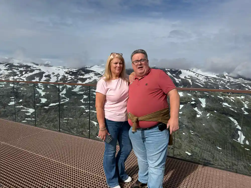
- The Skywalk at Dalsnibba opened in 2016, with a grated floor and glass railings that give a sense of floating above the view.[22]
- Local pioneers completed the summit road in 1939, but the Second World War delayed its official opening until 19 July 1948.[18][23]
- Nibbevegen to the summit and the Eagle Road towards Eidsdal each climb through 11 hairpin bends.[24][25]
- Top choice Dalsnibba coach tour from US$116 Duration3.5 hoursFormatGuided coach, four stopsCommentaryLive guide in EnglishRating4.61 from 2,636 reviews Check availability
- Dalsnibba mini bus from US$116 Duration2 hoursFormatMini bus with a live guideCommentaryLive guide, English and NorwegianRating4.30 from 90 reviews See this tour
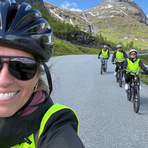
- Downhill bike tour from US$156 Duration3 hoursFormatSelf-guided bike, small groupCommentaryInstructor in EnglishRating4.67 from 35 reviews See this tour
The road to Dalsnibba was completed in 1939 as one of the most ambitious road-building projects in Norway.
The road was officially opened on 15th September 1955 and gave the village of Geiranger year-round road access.
Coach, mini bus or bike to the summit
Bring for the summit
The Summit Road: Engineering at 1,476 Metres
Dalsnibba stands 1,476 metres above sea level, making it accessible by road to become Europe's highest fjord viewpoint. The mountain road that climbs to the top of Dalsnibba, the Nibbevegen, was completed in 1939 and finally opened to traffic on 19 July 1948 after the war, a feat of Norwegian engineering that required blasting switchbacks directly into the mountainside. The road was constructed to connect the Geiranger area with the Trollstigen plateau, opening up what had been remote high country to travelers. What you drive up today is the result of years of planning and three seasons of intensive mountain construction work.
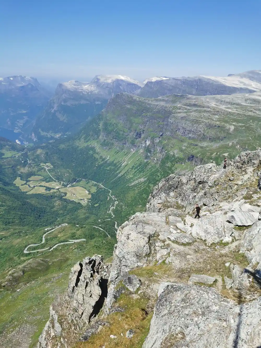
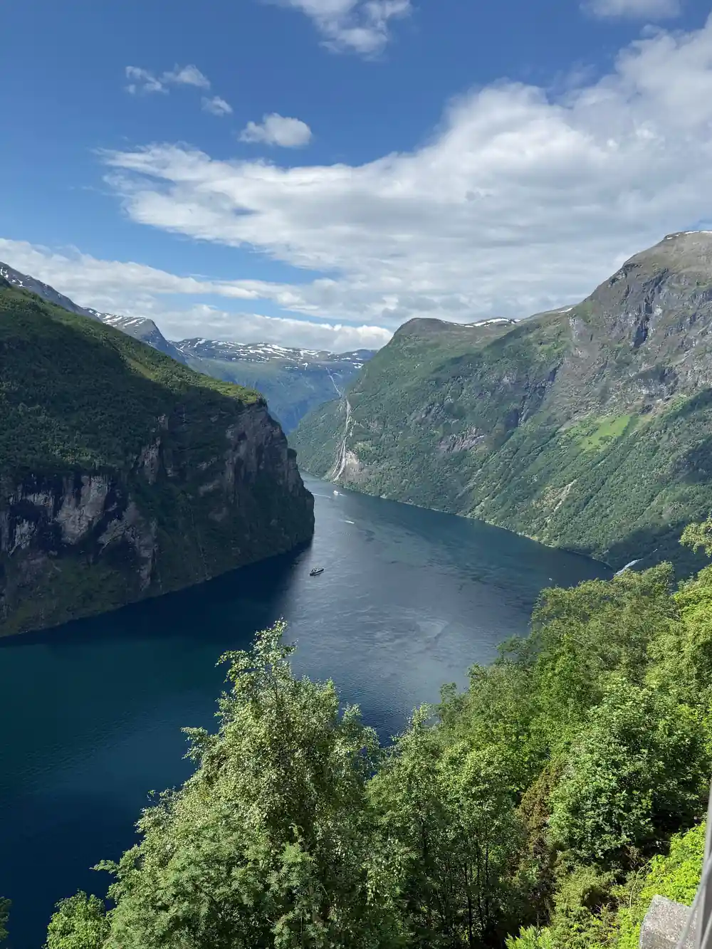
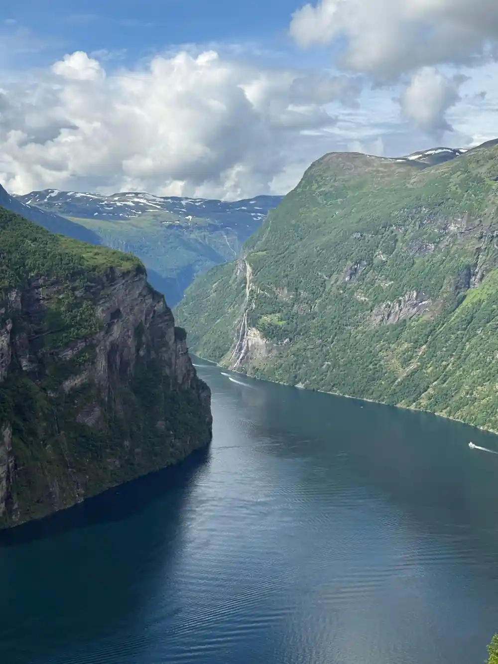
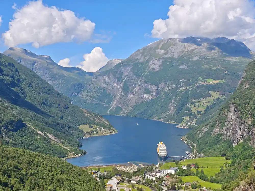
The ascent takes you through changing landscape, from fjord vegetation at lower elevations to alpine terrain near the summit. The Geiranger road climbs steadily in a series of tight hairpin turns, each one engineered to gain elevation while maintaining a passable gradient for vehicles. At the top of Dalsnibba, the Skywalk platform extends out over the mountainside, offering views that stretch across the UNESCO World Heritage Geirangerfjord below. On clear days, you can see all the way to the Sunnylvsfjord and the Geirangerfjord's most famous waterfalls from this vantage point.
Nibbevegen is still a private road, owned by Geiranger Skysslag, a company founded in 1907 and wholly owned by local people, and the tickets bought at the gate pay for its upkeep.[22] It runs 5 km with 11 hairpins at a gradient of about 10 per cent, and it was tarmacked in 2013.[18][24]
Dalsnibba: What the Mountain's Name Means
The word Dalsnibba comes from Old Norse roots: 'dal' means valley, and 'nibba' refers to a mountain peak or summit. Together, the name describes exactly what it is: the peak that rises above the valley below. Local names often tell the story of the landscape, and Dalsnibba is no exception. Understanding the meaning connects you to the region's history and how Norwegian speakers saw these mountains long before roads reached them.
The mountain has been a landmark for centuries, visible from great distances across the fjord region. What changed in the 1940s was not the mountain itself but the ability to reach its top by vehicle. Before the summit road opened, climbing Dalsnibba was a serious undertaking for hikers and mountaineers. The engineering that brought you to the viewpoint today transformed an isolated peak into one of Norway's most visited high-altitude attractions.
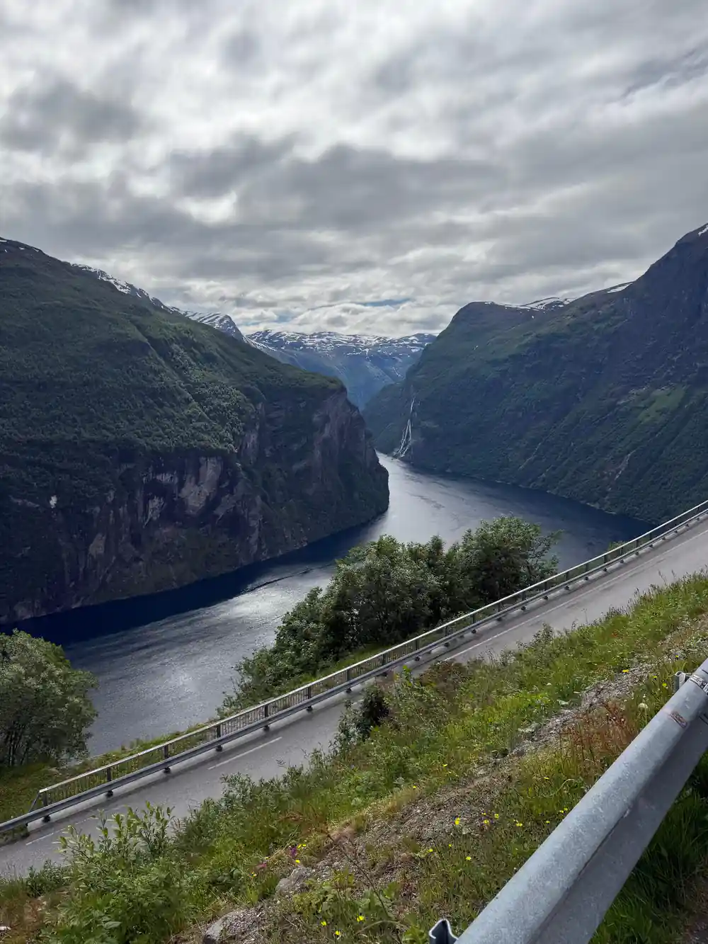
The mountain road between Geiranger and the summit of Dalsnibba
Djupvatnet: A Frozen Lake in Summer
Djupvatnet Lake sits in a sheltered basin near the top of Dalsnibba, and because of its high altitude and protected location, it often remains frozen or partially frozen well into early summer. The lake's name means 'deep water' in Norwegian, and despite its name, the water's exposure to the mountain climate keeps it locked in ice for much of the year. Even in June, when the valley below has warmed and flowers are blooming, Djupvatnet may still wear a thick crust of ice. This dramatic contrast between the fjord's mild climate far below and the alpine conditions at altitude is one of Geiranger's most striking features.
The frozen surface of Djupvatnet is a natural marker of how quickly conditions change with elevation in this region. The lake receives heavy snow in winter, and the short summer season at 1,016 metres means the ice pack has little time to melt completely. Seeing ice while looking down at green fjord slopes far below puts into perspective just how much altitude you have gained on this tour. The tour stops at the lake, giving you time to feel the temperature difference and understand why this landscape remains so raw and untamed.
Djupvatnet, the Dalsnibba lake, lies at 1,016 metres, with county road 63 along its northern shore and the summit road starting on its northwest side.[19] It is covered with ice for a long part of the year. In winter up to 12 metres of snow can lie on Nibbevegen, and after the road opens the snow walls beside it can be several metres high.[22][26]
The Eagle Road: Eleven Hairpins Built in 1955
The Eagle Road, or Ørnevegen, is the spectacular section of mountain road famous for its tight switchbacks and dramatic views. Built in 1955, this stretch of the Geiranger road features eleven hairpin turns that descend in a series of sharp loops down the mountainside. The road was constructed to provide access from the Geiranger valley up to the higher plateaus and to connect communities that had been isolated during winter. Each hairpin was engineered with steep grades and tight turning radii, designed for the slower-moving vehicles of that era but still challenging for modern traffic.
The eleven hairpins of the Eagle Road have become one of the most photographed sections of Norwegian mountain road. The tight turns mean that vehicles must slow considerably, and the views from each switchback reveal yet another perspective of the fjord and surrounding peaks. The name Eagle Road comes from its highest stretch, which crossed terrain that was long home to a large number of eagles. On this tour, you will experience these switchbacks from a coach, and the driver's skill in navigating these turns is something to observe and appreciate firsthand.
12 m
Up to 12 metres of snow can lie on the Dalsnibba road in winter, and it usually opens again in mid-May.[21][22]
How Coach Drivers Master the Switchbacks
Driving a full-size coach through eleven hairpin turns requires a specialized skill set and deep familiarity with the road. The drivers on this route are experienced professionals who have spent years navigating these exact switchbacks. They know where the road is widest, how much space they need at each turn, and how to use the full width of the road to make the angles as smooth as possible. Their hands-on knowledge of the Eagle Road means that even though the turns are tight, the ride is controlled and deliberate.
At each hairpin, the driver makes a wide entry into the turn, uses the full lane width, and exits in a way that sets up the next switchback. This technique is invisible to passengers if done well, but it is the result of countless passages up and down this road. The coach moves slowly through the hairpins, giving you time to look out the windows and take in the views. The stability and confidence of an experienced driver also means you can relax and enjoy the engineering marvel rather than feeling anxious about the tight turns. What looks frightening in photographs becomes almost graceful when driven by someone who knows the road intimately.
Nibbevegen is built for buses. It is wide enough for oncoming traffic, there are passing places where it narrows, and experienced drivers manage it without problems.[23] On the Eagle Road the longest vehicle permitted is 15 metres, and at its steepest the road climbs at one in ten.[25]
A Glacier's Legacy in the Modern Landscape
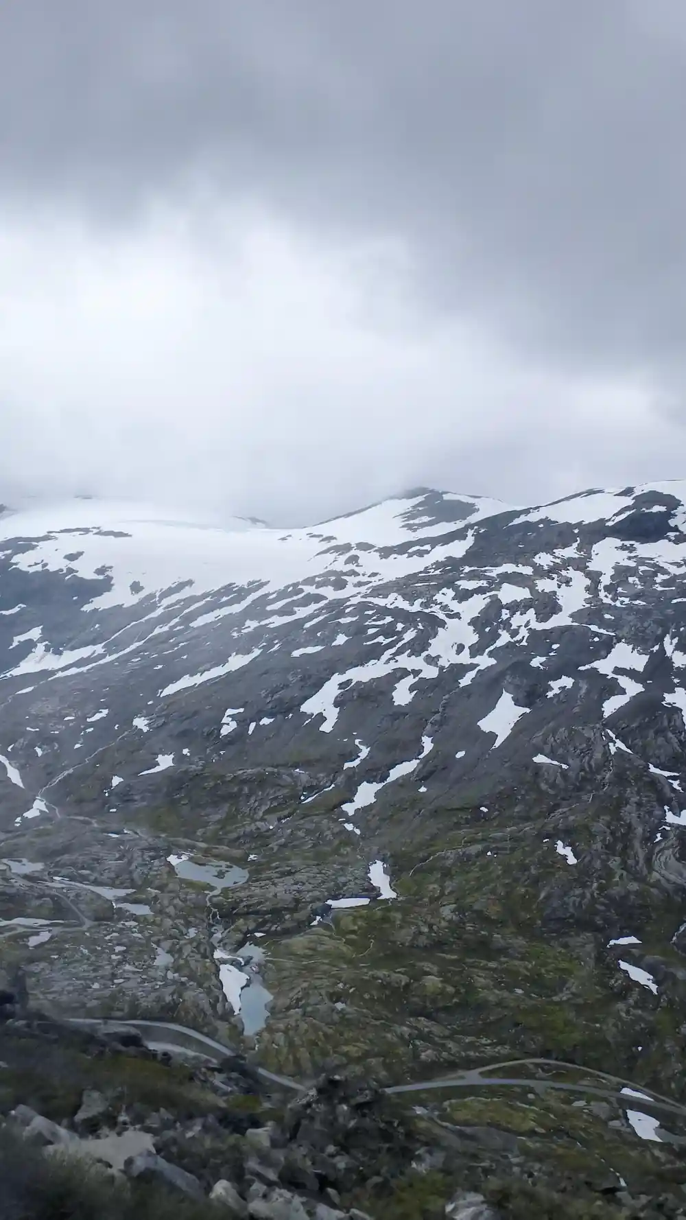
The landscape around Dalsnibba and the Eagle Road was shaped by glaciation, and evidence of the Dalsnibba glacier remains visible in the terrain even today. During the last ice age, glaciers covered this entire region, and the U-shaped valleys, cirques, and rocky peaks you see are all products of that ancient ice. The glacier that occupied Dalsnibba's slopes has long since retreated, but its signature is written into every contour of the mountain. The steep faces and sharp ridges of the peak are classic glaciated terrain, sculptured by ice over thousands of years.
The presence of Djupvatnet and other high-altitude lakes in this area is also a legacy of glaciation. These lakes fill basins carved out by ancient glaciers, and the rock debris left behind shaped the drainage patterns that still funnel meltwater downslope. Understanding that you are standing on glaciated terrain adds another dimension to the views from the platform. The fjord itself is a massive glacial valley, deepened and widened by ice ages of glacial flow. The Geiranger you see from Dalsnibba is the result of millions of years of geological work, with glaciation being the most recent and powerful force in shaping what you now observe.
What to Expect During Your 3.5-Hour Tour
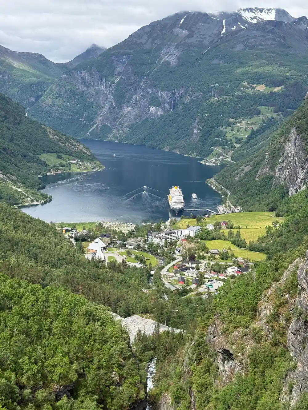
This guided tour is 3 hours and 30 minutes long and includes four main stops: the Flydalsjuvet View Point, the summit area at the top of Dalsnibba, Djupvatnet Lake, and Eagle Bend. Your guide will provide context at each location, explaining the geology, history, and features of the landscape you are viewing. The tour departs from Geiranger and follows the Geiranger road upward, so you will experience the switchbacks and climbing as part of the journey.
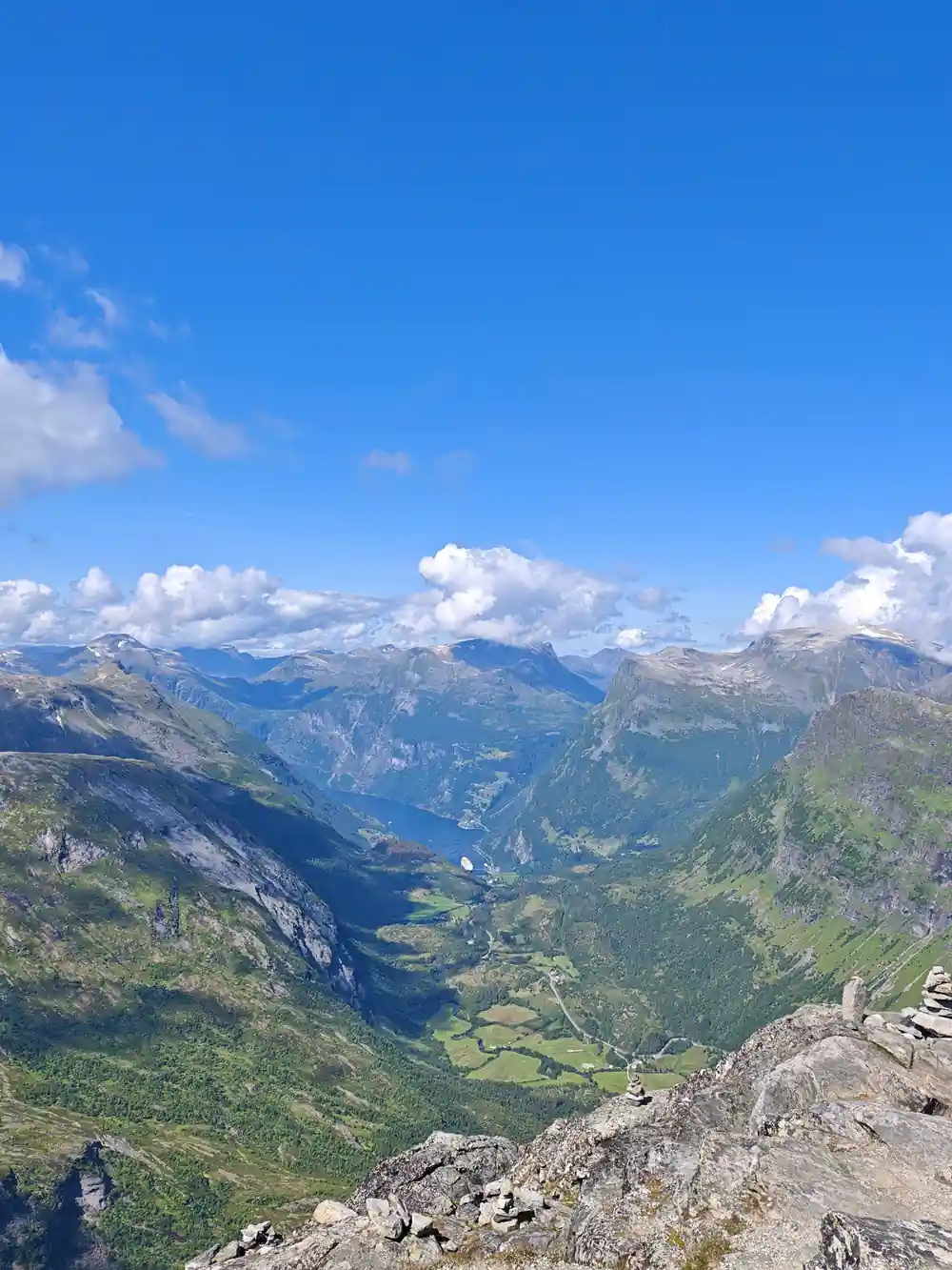
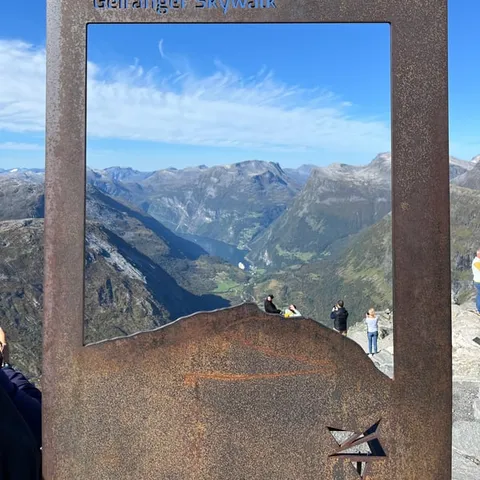
You will spend time at the Skywalk platform, where you can stand above the fjord and take photographs of the Geirangerfjord, waterfalls, and surrounding mountains. The high altitude and open platform make this one of the most dramatic viewpoints in Norway, and the experience of being at this elevation while looking down at the fjord hundreds of meters below is unforgettable. The full duration means you have ample time to absorb each location and ask your guide questions about what you are seeing. Bring layers of clothing, as the temperature at the summit is significantly cooler than in the valley, and weather can change rapidly at altitude.
On clear days the Geirangerfjord view from the summit reaches all the way to the sea, and the platform also looks out to the Blåbreen glacier.[23][24] The last stop, the Eagles Bend viewpoint at Ørnesvingen, sits on the highest of the Eagle Road hairpins; it was upgraded under Norway's National Tourist Roads project and officially opened on 21 June 2006.[25]
Days the summit road was open each season
Days from each season's opening date to its closing date on the Dalsnibba toll road, both days included.[21]
Price a trip up to Dalsnibba
Every figure is a "from" price for one adult and not a quote. Child prices may differ, so check the listing for your own party before you book.[17][27][28]
When the summit road is open
Up the mountain by coach
Stop first at Flydalsjuvet
The first listed stop is Flydalsjuvet, about 320 metres above sea level.[17][29]
Pass Knuten and Djupvatnet
The road passes Knuten, Norway's first ascending loop road, and Djupvatnet, iced over much of the year.[26]
Turn onto Nibbevegen
A toll gate marks the last 5 km: a private road with 11 hairpins at about 10 per cent.[24][26]
Stand on the Skywalk
The platform, opened in 2016, has a grated floor and glass railings.[22]
Finish at Eagle Bend
The last listed stop is Eagle Bend, the highest of the 11 hairpins on the Eagle Road.[17][25]
Ride up to Dalsnibba and on to Eagle Bend on the guided coach tour
from US$117Reserve now & pay later