At a glance
- Åknes is an unstable rock slope on the west side of the Sunnylvsfjorden in Stranda, between Stranda and Hellesylt.[2][6]
- Over the last five years the fastest GPS station on the slope moved about 6 cm a year.[3]
- Modelling for NVE puts a wave from Åknes at Geiranger about 8 minutes after a slide, with an assumed maximum run-up of 35 to 55 metres.[4]
- NVE sets a green, yellow, orange or red danger level for the mountain and publishes weekly monitoring reports.[2][5]
- At Tafjord in 1934, 3 million cubic metres of rock raised a wave of 63.5 metres and killed 40 people.[7]
| Tafjord 1934 | Loen 1936 | Åknes today | |
|---|---|---|---|
| Date | 7 April 1934[7] | 13 September 1936[8] | Danger known since the 1960s[2] |
| Where | Langhammaren, Tafjorden[7] | Ramnefjellet, Lake Lovatnet[8] | Sunnylvsfjorden, Stranda[2] |
| What fell | 3 million m³ from 730 m[7] | 1 million m³ from 800 m[8] | 2.4 to 9.7 million m³ modelled[2] |
| Highest wave | 63.5 m[7] | More than 74 m[8] | 35 to 55 m assumed max at Geiranger[4] |
| Deaths | 40, in Tafjord and Fjørå[7] | 74[8] | No slide yet[6] |
| Monitoring today | NVE watches Hegguraksla[7] | Lake too shallow for big waves[8] | Continuous NVE monitoring[2] |
Eventually, Åkernes will start moving faster. We can't say how fast before it fails.
Scientists have stated that this one day will happen; it is just a matter of time.
Should the Åknes risk change your Geiranger plans
Know
The Mountain Slowly Sliding
The Åkneset mountainside is moving, and the movement is measured year after year. Two farms were worked on this steep slope until 1958, then abandoned, and they are still kept as cultural heritage.[6] Instability was first mentioned in a local newspaper in 1964, when residents reported a crack opening. In 1985 Per Åkernes, who grew up below Åknes, told Stranda municipality that at one spot the crack had widened by more than 50 cm since 1957.[3]
The moving area reaches from 150 to 900 metres above the fjord, and drilling has found movement down to 62 metres below the surface.[6] A rockslide from Åknes could send large waves through the Storfjord area, and even the smallest of NVE's planning scenarios would strike mainly Hellesylt and Geiranger.[2] It has happened here before: geological surveys show that gigantic rock avalanches entered the Sunnylvsfjorden a little north of Åkerneset shortly after the last ice age.[6]
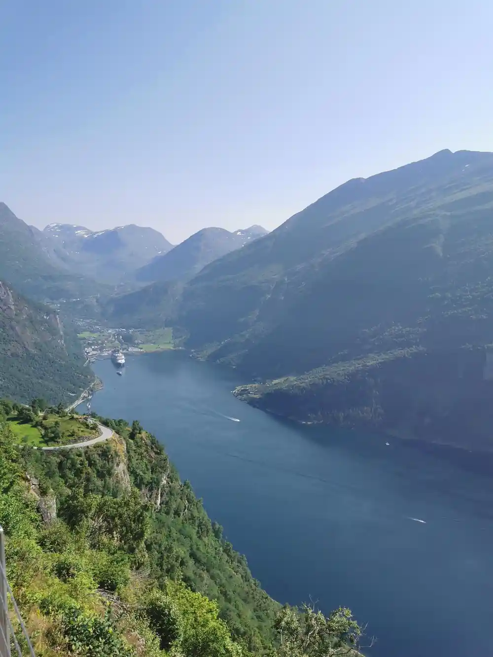
Åknes, as the slope is also known, lies on the west side of the Sunnylvsfjorden in Stranda municipality, between Stranda and Hellesylt, and the danger has been known since the 1960s.[2][6] Over the last five years the fastest GPS station on the slope moved about 6 cm a year.[3] Older estimates put the unstable mass at up to 54 million cubic metres, but NVE's 2026 revision cut it to between 2.4 and 9.7 million for the scenarios used in planning, with a 31 million total scenario judged very unlikely.[2][6]
The 1934 Tafjord Disaster
On 7 April 1934, at 03.10 in the night, Langhammaren, a mountain area on the northeast side of Tafjorden, broke away from 730 metres above sea level.[7] Approximately three million cubic metres of rock fell into the fjord, triggering a wave that reached about 60 metres at its highest. The wave split into one tsunami moving into the fjord and another moving out, and three waves struck Tafjord and Fjørå, the last one the largest.[7] In Tafjord the waves were up to 17 metres high and killed 23 people; in Fjørå they reached up to 13 metres and 17 people died.[7]
The mountain had given warning. From around 1870 people in Fjørå knew that a long fracture at Langhammaren was widening; by 1930 it was 1.5 metres wide, and rock falls came more often in March and early April 1934. People in Tafjord and Fjørå expected Langhammaren to fall one day, but the full consequences were not foreseen.[7] An avalanche as big as the 1934 one had happened in Tafjorden before, so the neighbouring Hegguraksla is now under continuous surveillance by NVE.[7]
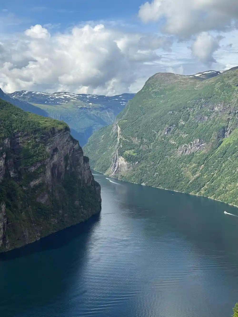
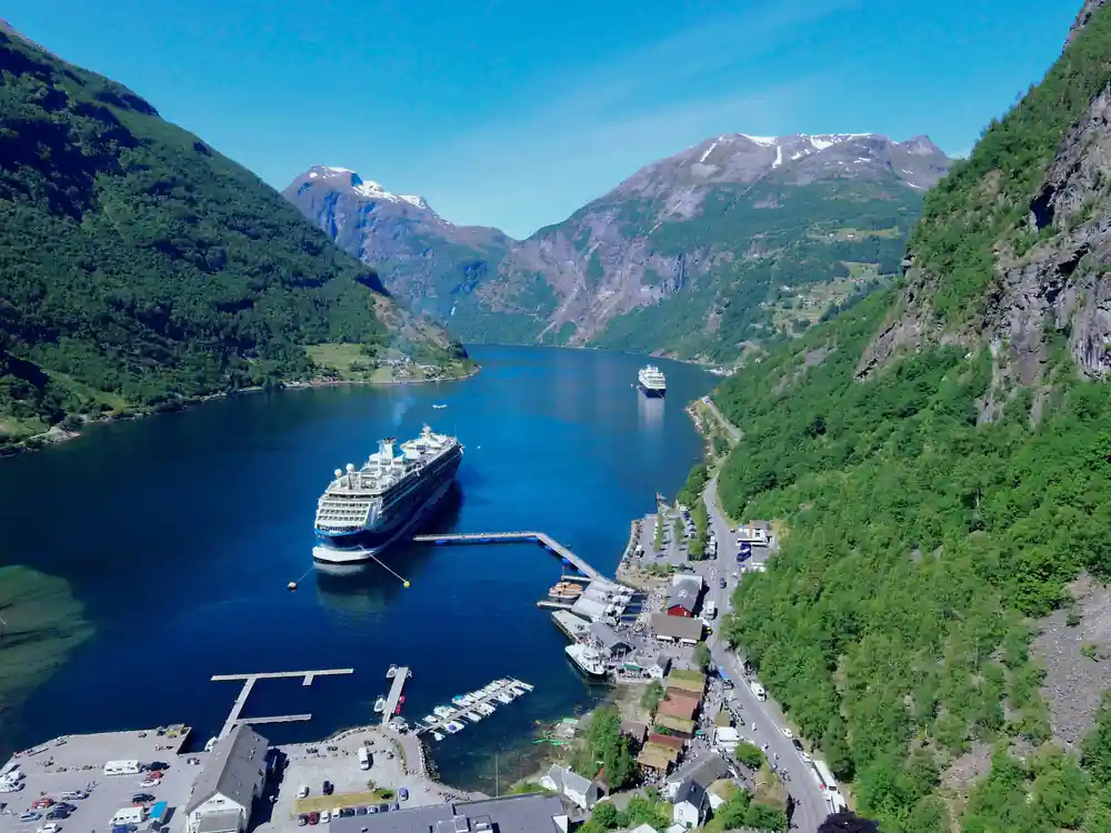
Geiranger village at the end of the fjord, about 8 minutes from Åknes for a wave
Round-the-Clock Monitoring
The Åkneset rock face is watched continuously, combining several independent measuring methods on the surface and in boreholes, and the results are assessed as they come in so that changes can be caught early.[2] Measuring bolts were fitted in 1986 and read regularly until 1995, and from 1993 three extensometers also watched the back crack.[3] From 2004/2005 many more methods were added to give continuous surveillance, and deep instrumented boreholes followed in 2017 and 2018.[2][6]
NVE has been responsible for monitoring rockslides since 2015. On Åknes the instruments include GPS stations, a total station aimed at reflector prisms, extensometers, lasers, borehole instruments, satellite radar and weather stations.[2][3] NVE sets a danger level on a four-step scale of green, yellow, orange and red, and at red preparedness is scaled for a slide within 72 hours, with the whole danger zone evacuable within 12 hours.[5]
At green, the slope is in long, steady movement of a few millimetres to centimetres a year, and a slide in the near future is unlikely. At yellow, movement has risen beyond normal seasonal variation and preparedness is scaled for a slide after one month.[5] Every change of level is reported to the emergency agencies, and status reports with the danger level are published weekly on nve.no and on varsom.no.[5]
Sirens, Phone Alerts and Evacuation Rules
Public warning used to be the job of Åknes/Tafjord Beredskap IKS, a company owned by Stranda, Sykkylven, Norddal, Stordal, Ørskog, Ørsta and Ålesund because of their exposure to rockslides from Åkneset and Hegguraksla. It warned people by automatic phone calls and sirens.[9] The company has since been wound up by its council of representatives and member municipalities, and its board decided that warning by typhon sirens would end, with the sirens possibly transferred to the Civil Defence.[9]
The danger levels set out the steps. At orange, movement shows clear acceleration, preparedness is scaled for a slide within two weeks, emergency organisations are activated, vulnerable functions are moved and activity and traffic are reduced.[5] At red, a slide is very likely and imminent, the level stays in force even after a slide until monitoring is restored, and evacuation begins when the police ban anyone from staying in the evacuation zone.[5]
55 m
A wave from Åknes would reach Geiranger about 8 minutes after a slide, with an assumed maximum run-up of 35 to 55 metres.[4]
How Evacuation Planning Shapes Village Life
The hazard zones shape where building is allowed. They were redrawn in 2026 from the revised scenarios, with annual probabilities of 1 in 100, 1 in 1,000 and 1 in 5,000 to match the safety classes in the building regulations.[3] At Geiranger the 1 in 1,000 line lies 15 to 33 metres up and the 1 in 5,000 line 20 to 46 metres, because the waves grow as the fjord narrows and becomes shallower towards Hellesylt and Geiranger.[4]
NVE's consequence analysis counts residents, schoolchildren and kindergarten children, buildings, tourists including cruise traffic, and ferry traffic. It assumes that no one is hit by the rock itself, only by the wave that follows, and it concludes that scenarios B, C and D remain high risk despite the lower volume estimates.[3]
In NGI's 2026 modelling for NVE, a wave from Åknes would reach Hellesylt in about 3 minutes and Geiranger in about 8, with an assumed maximum run-up of 35 to 55 metres at Geiranger.[4] NVE notes that the danger from Åknes limits which building works are allowed in exposed areas, and tsunami hazard zones for the fjord villages have been published.[2]
Why Cruise Ships Still Call at Geiranger
Scientists interviewed by National Geographic say that, thanks to the early warning systems, villagers and the many tourists are not in immediate danger from Åknes.[10] NVE watches the slope continuously so that a warning can be given in good time.[2] At green the main measures are monitoring, planning and exercises, and at yellow no measures with direct consequences for society or individuals are taken; activity and traffic in the zone are cut back from orange.[5]
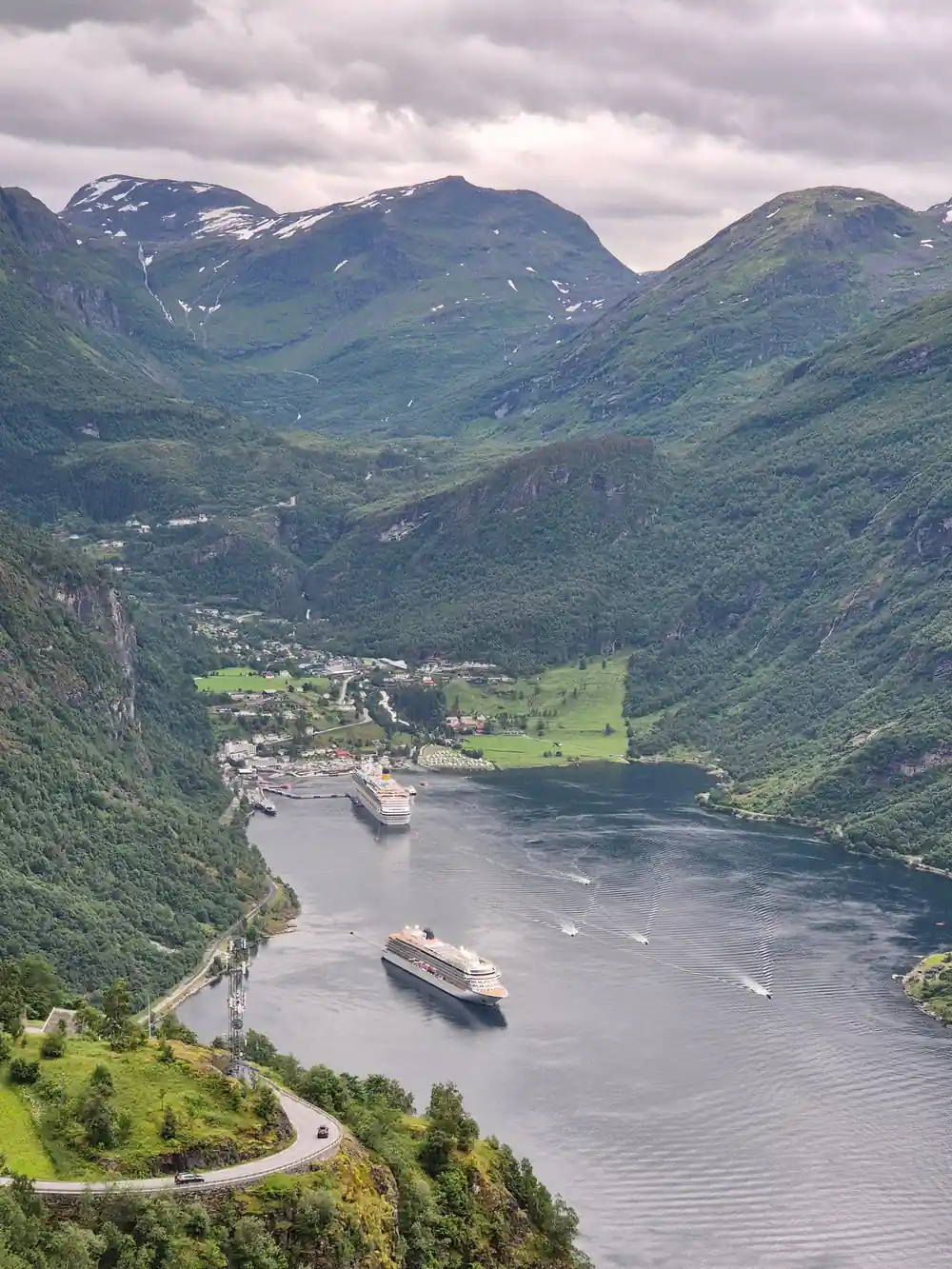
The closest thing to a Geirangerfjord live status is public: NVE publishes weekly monitoring reports for Åknes, and the danger levels also appear on varsom.no.[2][5] For Geiranger, the modelled wave would arrive about 8 minutes after a slide from Åknes and 19 minutes after one from Hegguraksla, where the assumed maximum run-up at Geiranger is only 1 to 3 metres.[4]
Understanding Risk in the Modern Fjord
The real threat is a matter of probability. NVE rates the combined annual chance of a slide from Åknes at about 1 in 60, with 1 in 200 for scenario D, 1 in 100 for scenario C and about 1 in 600 for scenario B.[2] Scenario A, the whole 31 million cubic metres, is judged so unlikely, about 1 in 12,000 a year, that it is left out of preparedness planning, though it is still watched as part of the monitoring.[2][3]
Work on reducing the risk continues. NVE's 2026 report is meant as the basis for preparedness, land-use planning and risk-reducing measures, including ongoing and planned studies of draining the slope.[3] National Geographic reports that Norway is looking at a system to pipe rainwater out of the mountain, similar to one first used successfully in 1987 near Revelstoke in British Columbia.[10]
In The Wave (2015), Geiranger is the village in the path of an 80-metre tsunami after the Åkerneset crevice collapses. The Norwegian disaster film, directed by Roar Uthaug and released as Bølgen, was Norway's submission for the foreign-language Oscar but was not nominated.[11]
Minutes for a wave from Åknes to arrive
Modelled arrival times after a slide from Åknes, from NGI's 2026 tsunami study for NVE.[4]
Price a Geiranger day around the fjord story
Every figure is a "from" price for one adult and not a quote. Child prices may differ, so check the listing for your own party before you book.
The timings behind the Åknes warnings
Reading the Åknes risk
Know where Åknes is
It sits on the west side of the Sunnylvsfjorden, between Stranda and Hellesylt.[2][6]
Check the danger level
NVE sets a green, yellow, orange or red level and publishes weekly reports.[2][5]
Understand orange
Orange means clear acceleration; activity and traffic in the zone are reduced.[5]
Understand red
Red means a slide is very likely soon; police ban staying in the zone and evacuation must be possible within 12 hours.[5]
Plan your fjord day
The coach tour booked from this site stops at Dalsnibba and Eagle Bend, from US$116; Fjord Centre entry is from US$19.[1][12]
See the fjord from Dalsnibba and Eagle Bend on the coach tour
from US$117Reserve now & pay later