At a glance
- In 1894 a Trøndelag paper reported snow measured up to seven alen over the Geiranger roadway. That is roughly 4.4 metres, standing above the road surface rather than beside it.
- A traveller writing on 10 July 1900 found snow lying right down to the houses at Djupvasshytta, with the lake's winter ice still wholly untouched.
- In February 1903 a large avalanche passed directly by the Gjørvagaardene, the Gjørva farms, with enough pressure behind it to do damage without touching them.
- Two papers reported in January 1922 that nobody was in the houses when an avalanche came down: the residents were at Maråk, some of them at a party.
- Snow still sets the season: in April 2015 crews clearing road 63 met snow banks up to 6 metres, and the road usually opens around mid-May.[17][19]
| 1894 to 1903 | 1907 to 1930 | Today | |
|---|---|---|---|
| Snow recorded | About 4.4 m over the road[1][13] | Heavy avalanches in Geiranger[11] | Snow banks up to 6 m in 2015[17] |
| Summer snow | Lake ice at Djupvasshytta in July[2] | Road passable by Whitsun, 1930[8] | Snow ridges by the road into June[14] |
| Avalanche damage | Avalanche past the Gjørva farms[3] | Vesteraas and Holebak lost, 1907[9] | Stavbrekkfonna threatened the road, 2025[20] |
| Winter access | No year-round road yet[16] | No year-round road yet[16] | Eagle Road access all year since 1955[16] |
Here you will find high ridges along the road all the way out in June and a snowball fight is possible in midsummer.
The road was officially opened on 15th September 1955 and gave the village of Geiranger year-round road access.
What the snow record means for your visit
Before you set off
On the way up
- Coach stops at Flydalsjuvet, Dalsnibba, Djupvatnet and Eagle Bend.[12]
- Djupvasshytta, where lake ice was reported in an account printed in July 1900.[2]
- The Eagle Road, which gave Geiranger year-round road access in 1955.[16]
- An English-speaking live guide on the coach.[12]
A place that spent half the year shut
Almost everyone who reads this will see Geiranger between May and September, arriving on a road that is open, under mountains that are green and streaked with waterfalls. That is a real Geiranger, and it is also a seasonal one.
The newspaper record of this valley between 1894 and 1930 is largely a record of snow. Not scenery, and not skiing: snow as an obstacle, an expense and occasionally a threat. Papers from Trondheim, Kristiansund, Ålesund, Bergen and the Gudbrandsdal valley all followed it, because the road over the mountain to Geiranger mattered to a great many people who did not live there.
What follows is that record, in their words and their measurements. It is the half of this place a summer visit cannot show you, and it explains a good deal about what you will actually be looking at.
Geiranger avalanche history begins with a measurement
In April 1894 the Nordre Trondhjems Amtstidende reported that the snow at Geiranger had measured up to seven alen over the roadway [1]. The alen is an old Norwegian unit of about 62.7 centimetres, so seven of them is close to 4.4 metres, and the phrase the paper used was over the roadway rather than beside it. The road was not narrowed by snow that winter. It was under it.
The same report noted that weather conditions in the neighbouring Norangdalen had been difficult through the whole autumn and winter [1], which is the sort of detail that only appears when a season has been bad enough to be worth summarising.
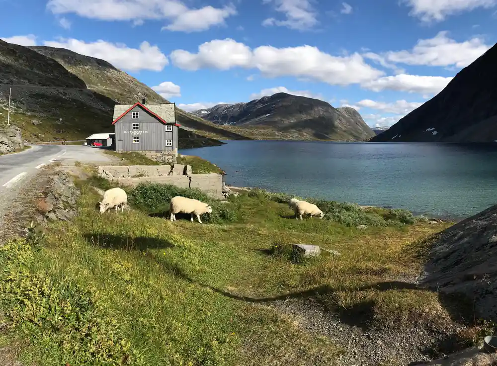
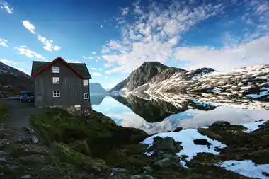
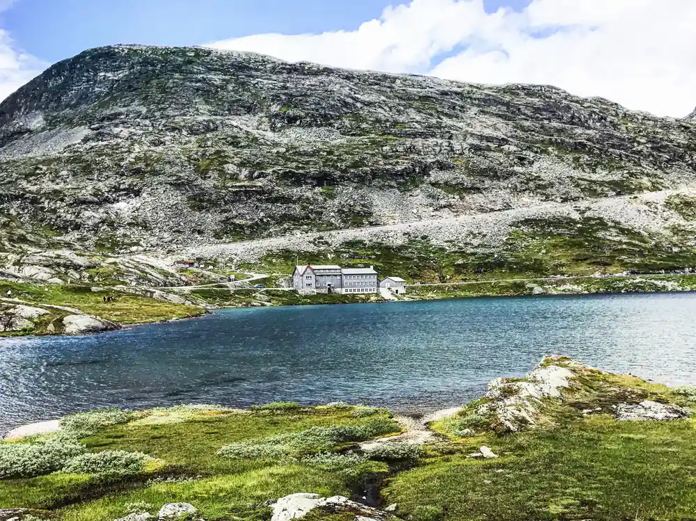
Six years later a traveller wrote in the Gudbrandsdølen about the last posting stage on the road toward Geiranger, at Djupvasshytta. Not only did the snow lie right down to the houses, the writer reported, but the lake's winter ice lay wholly untouched. That account was printed on 10 July [2].
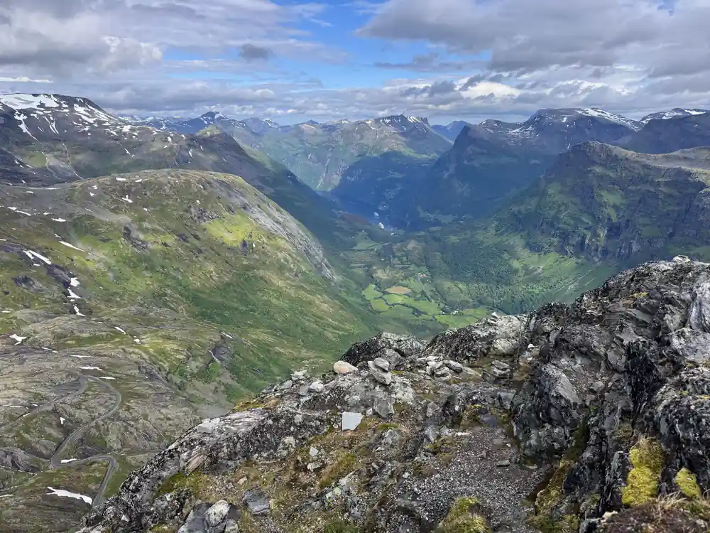
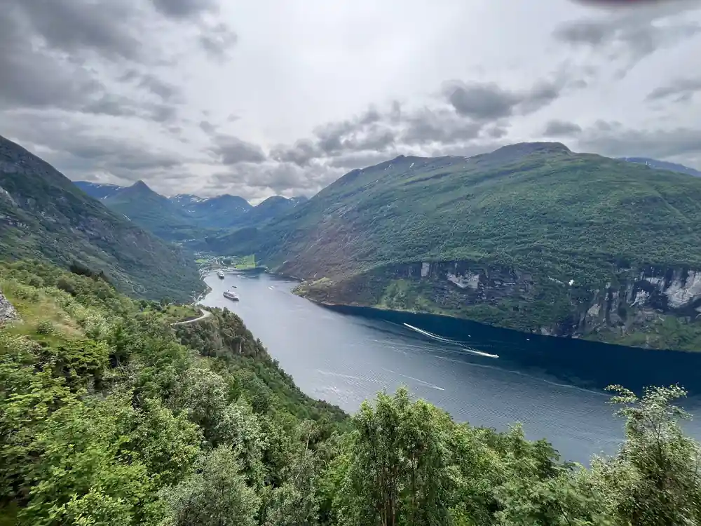
Geiranger, where snow was measured at seven alen over the roadway in April 1894
The Gjørvagaardene and the winter of 1903
The Gjørva farms, the Gjørvagaardene, sat on the valley side above the fjord. The name survives today only as a street address near the village centre, which is a quiet way of saying the farms themselves are gone from public memory entirely.
In February 1903 the Møre Tidende reported that a large avalanche had come down at Geiranger on the Wednesday, passing directly by the Gjørvagaardene, and that the pressure travelling in front of it was strong enough to cause damage on its own [3].
That last detail is the one worth holding on to. An avalanche in a valley this steep does not need to reach a building to destroy it. The air pushed ahead of the moving snow arrives first, and it arrives faster.
1907: the winter that needed a committee
The archive records 1907 differently from the other years, because in 1907 the response outgrew the event. In March the Søndmørsposten printed the membership of a committee formed to deal with the consequences of the avalanche disasters: three members of the parish council, named as P. M. Gjørva, P. T. Gausdal and Johan Ørjesæter [4].
Five days later the Namdalens Folkeblad, published on the other side of the country, carried the committee's assessment of what the snow avalanches had destroyed [5].
Two things follow from those two short notices. The first is that a single winter did enough harm to a small farming community that its parish council had to appoint people to count it. The second is that a newspaper in Namdalen thought its readers would want the committee's findings, which tells you the scale of it was national news.
12 m
In winter up to 12 metres of snow can lie on the Nibbevegen, the road up Dalsnibba that the coach tour climbs in summer.[15]
What the books add: a date, and a count
The newspapers of 1907 reported a committee and its work. The books, written later and with time to gather the details, give the event itself.
The topographic survey Norges land og folk records that the Vesteraas farm in Geiranger was destroyed by a snow avalanche, and that on 23 February 1907 the neighbouring holding of Holebak went the same way [9]. That is the date the newspapers never printed.
The 1905 description of Geiranger, written by someone living there, counts the damage of an earlier February: a great avalanche came down between Boerefjellet and Nonshorn and completely destroyed twelve uninhabited houses at Merok and Gjorvad, damaging twenty-two in all [10]. The same book records another slide that tore ten large apple trees out by the roots, and gives its width as running from Rustadneset to Gjorvadboeen [10].
An almanac for 1908 notes simply that heavy snow avalanches ran in Nordfjord and Geiranger [11]. By then it was the kind of thing an almanac recorded as a matter of course.
The night the village was at a party
On 20 January 1922, two papers a fjord apart carried the same story.
The Søndmørsposten, writing in Nynorsk, reported that by great good fortune there had been no people in the houses when the avalanche came down. They had been at Maråk, some of them at a party there [6]. The Bergens Annonce Tidende, printing the same day, agreed and also reported that the avalanche had broken down many telephone poles between Grande and Maråk, and stated plainly that lives would certainly have been lost had the residents not been away [7].
Søndmørsposten also reported that the avalanche broke down many telephone poles between Grande and Maråk, and that the line between Grande and Møll was said to be broken too. Both papers put the empty houses down to luck.[6][7]
When the road finally opened
The other half of the story is the waiting. Every year the mountain crossing had to melt before Geiranger could be reached overland at all, and the date it opened was itself news.
In June 1930 the Bergen paper Dagen reported that the road to Geiranger would certainly be passable by Whitsun, and noted that it was the first time in many years the crossing had been open so early [8]. Being open at the start of June was, in 1930, remarkable enough to print.
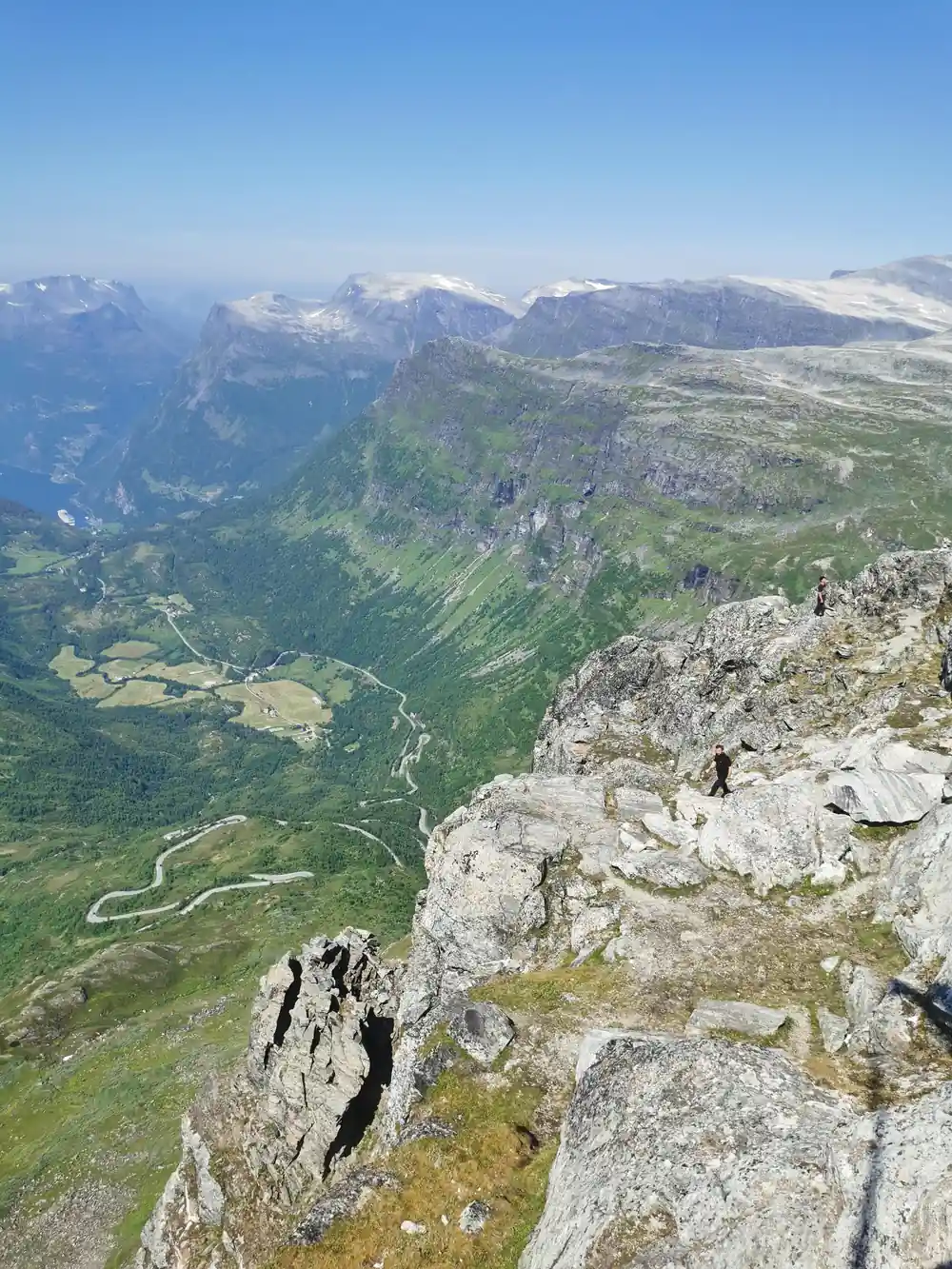
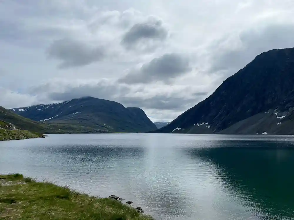
That is worth remembering on the drive up to Dalsnibba. The road you are on climbs past Djupvatnet to well over 1,000 metres, and it is closed by snow for a large part of every year even now. The season you are visiting in is not a detail of your trip. It is the reason the trip is possible at all.
What this changes about the view
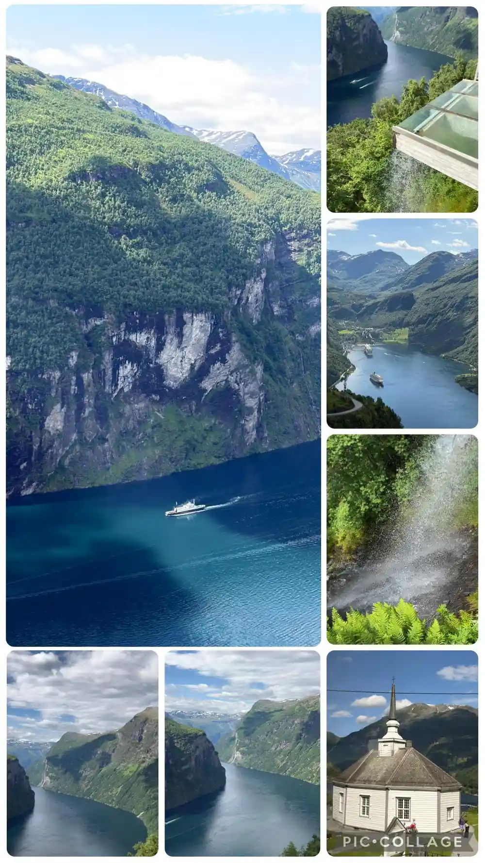
The Geirangerfjord is presented, reasonably enough, as beautiful. The archive does not contradict that. It adds a second thing underneath it, which is that this was a genuinely difficult place to live, and that people did it anyway for centuries on farms most visitors will never learn the names of.
The waterfalls you photograph are the same snow the 1894 report measured over the road. The green shelves on the cliff faces held families who were cut off for months at a time. The road that takes you to the Dalsnibba viewpoint in comfort is the descendant of a crossing whose opening date was a matter of public record.
None of that makes the view less impressive. It makes it a different view.
Snow depth on the Geiranger mountain road
Seven alen converted at 62.75 cm; 2016 and 2017 depths from crews clearing road 63 to Langvatnet.[1][13][18]
Price a summer trip up to Dalsnibba
Every figure is a "from" price for one adult from each tour's listing, not a quote. Child prices may differ, so check the listing for your own party.
When the snow lets you up
The winters in order
1894: snow over the road
Nordre Trondhjems Amtstidende reports seven alen of snow, about 4.4 metres, over the Geiranger roadway.[1][13]
1900: July ice at Djupvasshytta
A traveller finds snow down to the houses and the lake's winter ice untouched, in an account printed on 10 July.[2]
1907: farms lost and counted
Holebak is destroyed on 23 February after Vesteraas, and the parish council appoints a committee.[4][9]
1922: the houses stand empty
An avalanche comes down while the residents are at Maråk, some at a party, and telephone poles fall between Grande and Maråk.[6][7]
1955: a road open all year
The Eagle Road opens on 15 September 1955 and gives Geiranger year-round road access.[16]
Today: snow still sets the date
In April 2015 crews clearing road 63 over the mountain meet snow banks up to 6 metres high.[17]
See the road in the season it is open
from US$117Reserve now & pay later