À retenir
- In 1887 a Alesund paper called the place "Hundkupa or Flydalsjuvet". Only the second name survived, and Hundkupa has now vanished from the maps and from the internet.
- Aftenposten recorded a railing at the drop in 1883. Four years later the Norwegian Trekking Association paid for a sturdier one.
- A visitor writing in Sunnmorsposten in 1928 was overwhelmed by the view and, most of all, by the sparse, rusty and swaying railing at the edge.
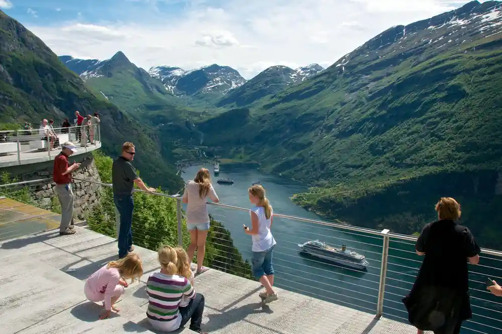
- The modern platform is an engineered structure on the National Tourist Route. The stop on your tour is the end of a very long argument about this edge.
A viewpoint with a name nobody uses
On 10 August 1887 the Alesund paper Aalesunds Handels- og Sofartstidende described a place above Geiranger as "the wild precipice at Hundkupa, or Flydalsjuvet" [2]. Two names for one drop, printed side by side, as though the writer could not be sure which one his readers would know.
Only one of them survived. Flydalsjuvet is now on road signs, on the National Tourist Route, and on several million photographs. Hundkupa is on none of them. Search for it today and you will find nothing at all, which is a strange fate for a name that a regional newspaper once used first, ahead of the one everybody now uses.
That single line is the reason this page exists. Once you know the archive called it Hundkupa, the rest of the record opens up, and what it describes is not a beauty spot. It is a dangerous edge that took more than half a century to make safe, argued over in print the whole way.
Flydalsjuvet history begins with a railing, not a view
The earliest mention in the archive is not about the scenery. On 1 May 1883, Aftenposten reported that a railing had been put up at Flydalsjuvet, and that the path to the Storsaeterfossen waterfall nearby had been improved at the same time [1]. Two pieces of infrastructure, reported together, in the flat tone of a public works notice.
It is worth pausing on what that means. In 1883 someone had decided that enough people were walking to the edge of this cliff that a barrier was now required. The tourists came first. The railing came second, as a response.
Whatever went up in 1883 was evidently not enough. Four years later the same Alesund paper recorded that the Norwegian Trekking Association had paid for the erection of a sturdy railing at Hundkupa [2]. Not the local council, not the road authority: a walking club, spending its own money on a barrier at a cliff edge because visitors kept arriving and the drop kept being there.
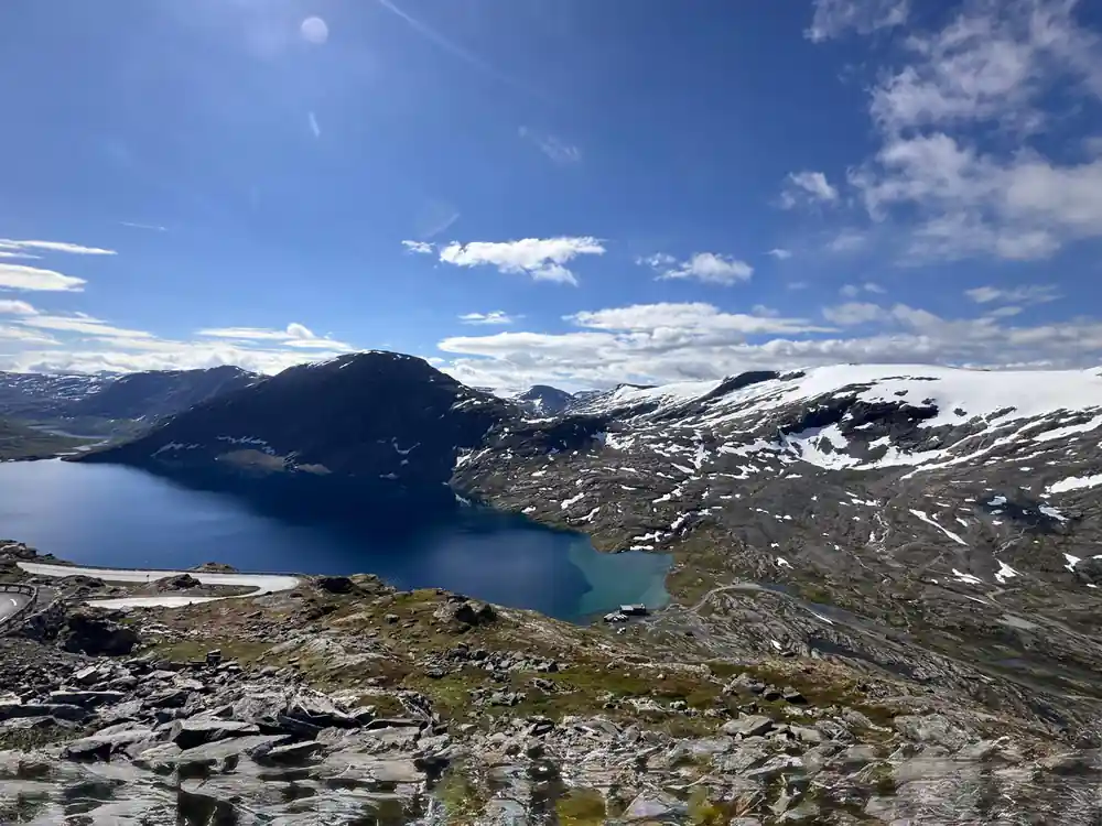
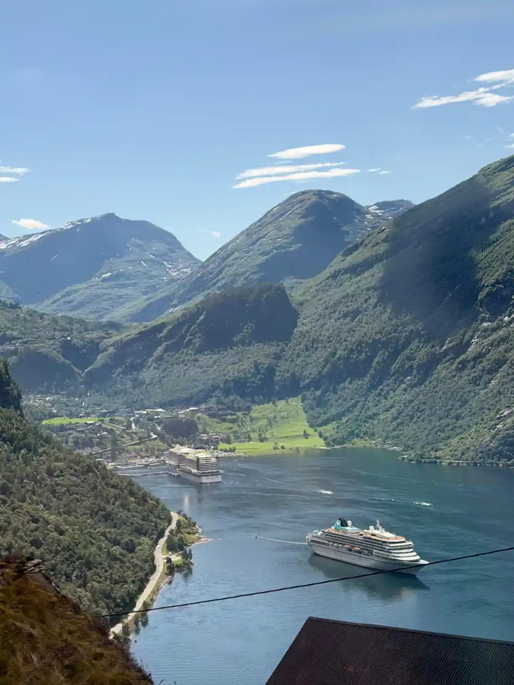
The drop that Aalesunds Handels- og Sofartstidende called "the wild precipice at Hundkupa" in 1887, when the only barrier was one a walking club had paid for.
What people actually did at the edge
The archive is unusually good on visitor behaviour, and it is not always flattering. In July 1926, Sondmorsposten described a party of American tourists being taken up to see Flydalsjuvet, where, the paper noted, they took particular pleasure in spitting out over the precipices [3].
It is a small detail and a very human one. The drop is roughly 300 metres of clear air. There is not a great deal you can do with that except look at it, photograph it, and occasionally test it with something small.
In July 1938 the Romsdals Budstikke reported that schoolchildren and a number of others had been up to Flydalsjuvet, which it called a terrifyingly steep drop, one requiring a good head for heights [6]. A school outing to a cliff, in other words, and the paper thought the danger worth mentioning to its readers rather than assuming they knew.
The railing that rusted
The most vivid line in the whole record comes from August 1928. A writer in Sunnmorsposten described taking an evening car trip up to Flydalsjuvet and being completely overwhelmed. Not, however, only by the view. The thing that overwhelmed the visitor most, the paper said, was the sparse, rusty and swaying railing at the edge [4].
Forty-one years after the Trekking Association paid for a sturdy barrier, that barrier was sparse, rusty and swaying. This is the part of the story that a modern viewpoint quietly erases. The safety of a place like this is not a fact about it. It is a maintenance budget, renewed or not renewed, decade after decade.
The same paper had a second complaint six years later. In July 1934 Sunnmorsposten noted that conditions used to be such that when cars stopped so that tourists could admire the magnificent view, there was frequently a traffic jam [5]. The road was not built for people to stop on, and stopping was the entire point of coming.
Why this changes what you are standing on
Every visitor to Geiranger is taken to Flydalsjuvet, and almost every one of them takes the same photograph from the same rock. The viewpoint reads as permanent, as though the fjord and the platform arrived together.
The archive says otherwise. It records a barrier in 1883, a better one bought by a walking club in 1887, a rusted and swaying one in 1928, traffic chaos in 1934, and a school party being warned about the drop in 1938. It records a name, Hundkupa, that was still in use in 1887 and is now completely gone.
Today the site is part of the National Tourist Route, with engineered viewing structures and proper parking. Standing at the edge with that in mind is a different experience from standing there without it. You are not at a natural wonder that happens to have a fence. You are at the end of a fifty-five year argument about how close people should be allowed to get.
Fifty-five years at one cliff edge, as the newspapers recorded it
1883: a railing appears
Aftenposten reports on 1 May that a railing has been placed at Flydalsjuvet, and that the path to Storsaeterfossen has been improved at the same time. [1]
1887: a walking club pays for a better one
Aalesunds Handels- og Sofartstidende describes "the wild precipice at Hundkupa, or Flydalsjuvet", where the Norwegian Trekking Association has paid for a sturdy railing. It is the last known printed use of the name Hundkupa. [2]
1926: the visitors arrive in numbers
Sondmorsposten records American tourists being shown Flydalsjuvet, where they took particular pleasure in spitting out over the precipices [3]. [3]
1928: the barrier has rotted
A writer in Sunnmorsposten is overwhelmed on an evening car trip, most of all by the sparse, rusty and swaying railing at the edge. [4]
1934: too many cars
Sunnmorsposten notes that when cars stopped so tourists could admire the view, there was frequently a traffic jam [5] on the road. [5]
1938: a school party at the drop
Romsdals Budstikke reports schoolchildren and others up at Flydalsjuvet, calling it a terrifyingly steep drop requiring a good head for heights. [6]