At a glance
- The Waterfall Walk climbs 85 metres from the pier to the Norwegian Fjord Centre and is one of the few trails open all year.[2]
- A boat drops hikers at Skagehola, where a steep path with railings climbs to the farm in about 45 minutes.[4][5]
- Storseterfossen is 45 to 60 minutes each way from Vesterås farm, and the trail passes behind the fall.[7][8]
- The trails around Geiranger are best suited to summer, and the Skageflå season runs from June to mid September.[2][6]
- The coach tour booked from this site reaches Dalsnibba at 1,476 metres, from US$116 for 3.5 hours.[1][3]
| Skageflå | Storseterfossen | Løsta | |
|---|---|---|---|
| Start point | Skagehola, by boat[4] | Vesterås farm, 320 m[8] | Vesterås farm[7] |
| Time | About 45 min up[4][6] | 45 to 60 min each way[7] | About 60 min each way[7] |
| Height gain | About 250 m[6] | 250 m over 2 km[3] | 200 m over 3 km[3] |
| Difficulty | Demanding, steep and narrow[6] | Moderate[7] | Moderate[7] |
| Season | June to mid September[6] | June to September[7] | June to September[7] |
| How to get there | Boat drop-off, from NOK 610[4] | 4 km drive or the Fosseråsa trail[7] | 4 km drive or the Fosseråsa trail[7] |
Weather and other conditions can vary a lot throughout the year, and in periods the risk of rock falls, and avalanches can mean that certain trails should be avoided.
All hiking is at your responsibility and at your own risk. Use common sense when you are in nature and go prepared with firm footwear (hiking boots), waterproof/warm clothing and enough food & drink.
Which Geiranger trail to pick
Pack this
Geirangerfjord hikes that start in the village
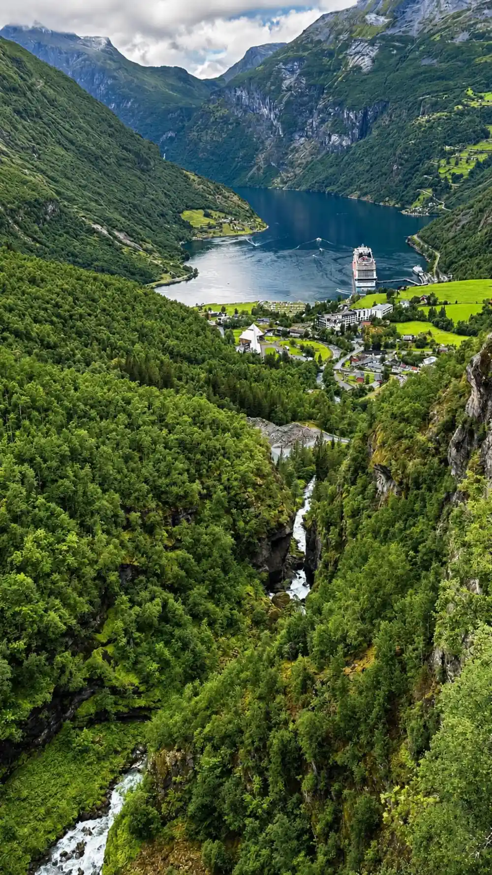
The easiest place to start is the pier. The Waterfall Walk, known locally as Fossevandring, runs 1.2 km from the pier in Geiranger up to the Norwegian Fjord Centre, with the last 400 metres on 327 steps fitted with handrails. It gains 85 metres, takes about 40 minutes, and is one of the few trails around Geiranger that stays open all year.[2]
The Waterfall Walk is also the first of three sections of Fosseråsa, named Norway's first National Hiking Trail in 2019. From the Fjord Centre the path winds up the hillside to Vesterås farm, then on to the Storsæterfossen waterfall, 550 metres above sea level, over stone sections built by Nepali Sherpas.[9] Beyond the Fjord Centre the trail is marked blue, for medium difficulty.[2]
Vesterås farm is about four kilometres by road from the centre of Geiranger, and the Fosseråsa trail reaches it on foot. The farm has a restaurant and cabins for rent, and the hikes to Storseterfossen, the Vesteråsfjellet viewpoint and Løsta all start there.[7]
The Skageflå hike: steep, fenced and reached by boat
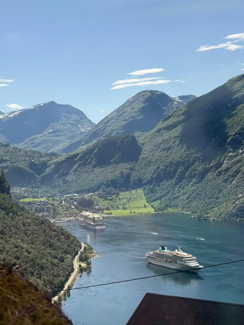
Skageflå is an abandoned mountain farm about 250 metres above the Geirangerfjord, and there were farmers there from the Middle Ages.[4][6] The hike begins at Skagehola, a small landing on the shore below that is usually reached by boat, and the path starts climbing as soon as you step ashore.[10]
From Skagehola it takes about 45 minutes to reach the farm. The terrain is steep; on the most exposed sections steps have been cut into the rock, and the path is secured with railings.[4] The route is rated demanding, the trail is narrow and airy, and it is no place for anyone afraid of heights.[6]
Families with children use the path, but smaller children should not be allowed to go alone, and with its steep, narrow and exposed sections the hike is not suitable for young children. The grassy plateau at the farm ends in steep cliffs, so keep a safe distance from the edge.[4][6] Skageflå and the other fjord farms are privately owned. There is a toilet at the farm but no toilet paper, and camping on the grassland around the houses needs the landowner's permission.[4]
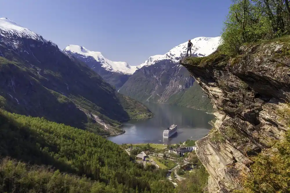
Streams, meadows and waterfalls on the trails above Geiranger
Getting to Skagehola and back
On VISIT Geiranger's sailings, only the sightseeing boat MS Geirangerfjord offers the Skagehola drop-off and pick-up. You buy a drop off and pick up ticket, take the fjord cruise, and leave the boat at Skagehola on the way back to Geiranger. Boat transport to Skageflå is sold from NOK 610.[4][5]
For the return you have two choices. Walk back down to Skagehola and catch a later sailing, since the same ticket covers the boat back from Skagehola and needs no booking, or carry on over the mountain. That route climbs in steep, partly airy terrain to Homlongsætra at 544 metres and then runs just inside the cliff edge to Homlong, 2 to 3 hours beyond Skageflå. Hiking all the way back to Geiranger takes about 4 hours.[4][5]
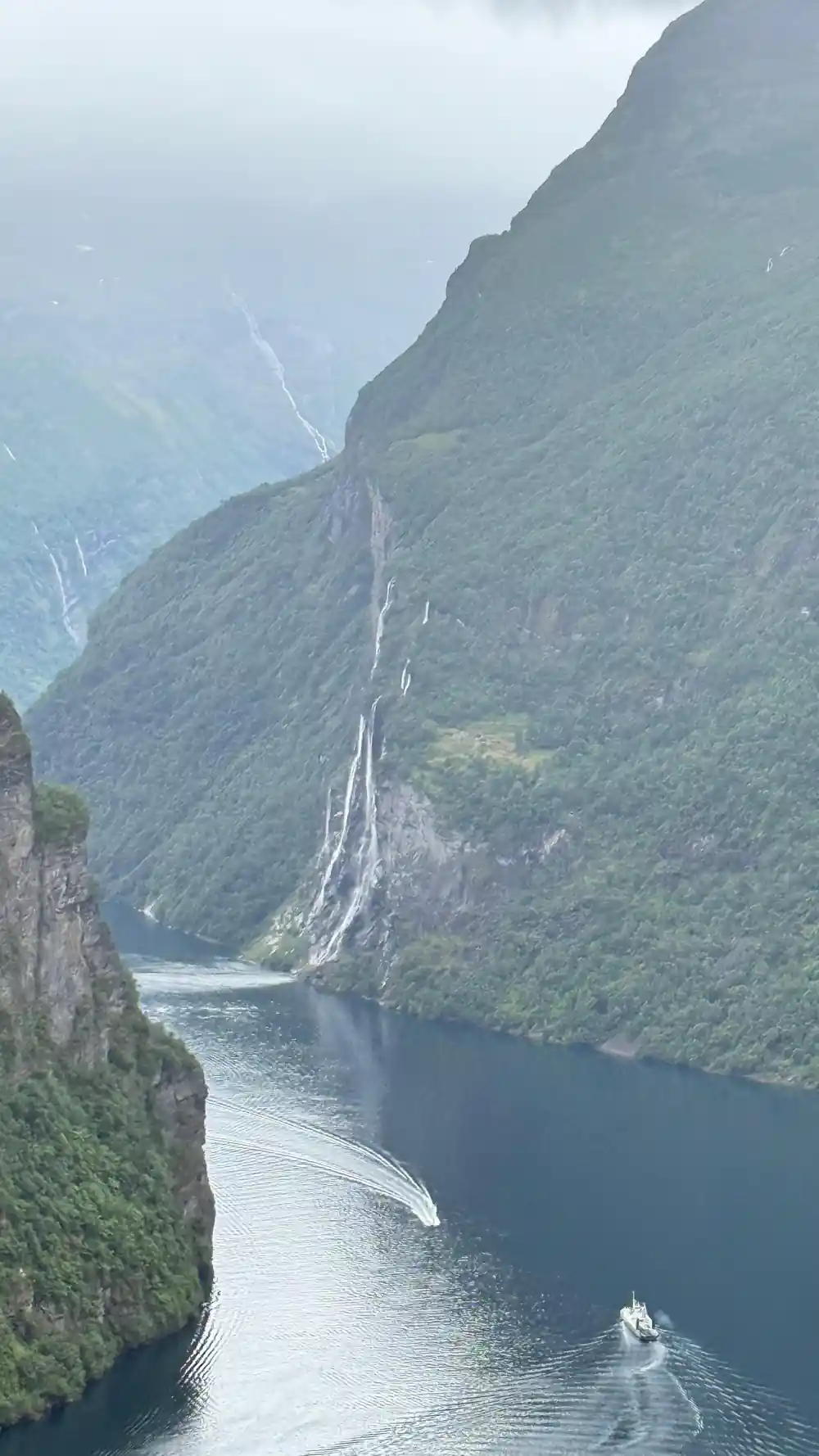
On the hiking map, the combined stretch from Homlongsætra past Skageflå down to Skagehola covers 2 km with 300 metres of height difference, and the map marks it for its views over the Geirangerfjord and towards the Seven Sisters.[3]
Waterfall walks and other easy routes
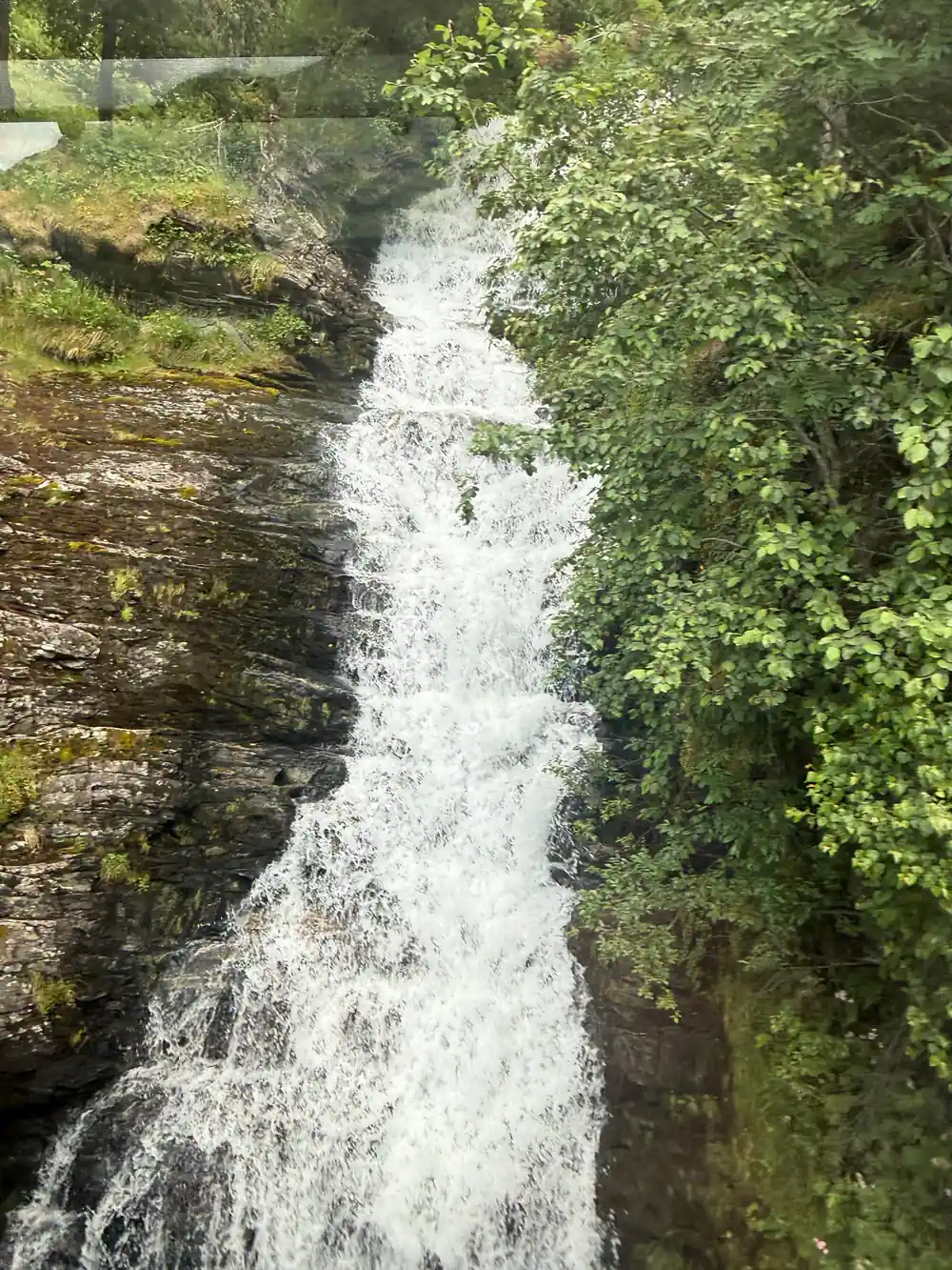
For a Geiranger waterfall hike, Storseterfossen is one of the most popular hikes in the village, and the trail actually goes behind the waterfall. From Vesterås farm at 320 metres it climbs to a plateau at 540 metres, and one of its two routes follows hundreds of stone steps made by Sherpas from Nepal and completed in 2014. It takes 45 to 60 minutes each way.[8] The secured path down behind the fall can be wet and slippery, and it is not recommended for children.[7][8]
The easy hikes Geiranger offers are short ones. The Waterfall Walk is graded green, the easiest of the four colours. On the hiking map, the walk from Grande to the Hyskje nature reserve covers 1.5 km with 20 metres of climbing along the Geirangerfjord, with views of Preikestolen and the Seven Sisters, while the Kvandalsfossen river walk from Dalen Camping is short at 0.5 km but climbs 100 metres.[2][3]
Vesteråsfjellet is about 30 minutes each way from the farm, but treat it with care. The viewpoint is secured by a fence that is loose and not safe, and from it vertical cliffs drop straight down to Geiranger.[7]
85 m
The Waterfall Walk climbs 327 steps and 85 metres from the pier to the Norwegian Fjord Centre in about 40 minutes.[2]
Hikes near Geirangerfjord for fitter walkers
Løsta takes about 60 minutes each way from Vesterås farm. On the hiking map it gains 200 metres over 3 km to a viewpoint at 500 metres, with a panoramic view of the Geirangerfjord.[3][7]
The Geiranger hiking map sets out routes lettered A to R, each with its distance and height gain, and the longer ones climb far higher. The route from Storseterfossen to Laushornet climbs 900 metres over 3 km. From Homlong, the walk to Homlongsætra gains 510 metres over 3 km, and the route on to Keipane gains 830 metres over 5 km.[3]
Trails are graded by colour: green for easy, blue for medium, red for demanding and black for expert hikers.[2] Mountain paths are marked with a red V. Some expert routes need a map and compass, and in fog or bad weather the advice is to put the walk off.[3]
When to hike, and guided or on your own
The trails around Geiranger are best suited to the summer period, from late May to the end of September, and access depends heavily on weather and snow. In some periods the risk of rock falls and avalanches means certain trails should be avoided.[2] The Skageflå season is narrower, from June to mid September.[6]
On all of these trails you hike at your own risk. The rules printed on the hiking map are simple: tell someone where you are going, wear sturdy footwear, take care near precipices and river banks, and never go alone. In an emergency call 113 or 112.[2][3]
The World Heritage centre runs guided walks on the Waterfall Trail with a Fjord Ranger, and Skageflå can be booked as a hike combined with a RIB ride.[2][10] For something other than walking, a rappelling tour with an instructor runs 3 hours for a private group, from US$148, and a self-guided downhill bike tour takes 3 hours, from US$156.[11][12]
What to bring, and the view for those who do not hike
Pack hiking shoes with good grip, a windproof jacket, water and a snack, and light gloves early in the season, plus a spare battery for your phone or camera.[10] The Skagehola boat operator adds waterproof, warm clothing and enough food and drink to that list.[5]
Dogs must be kept on a leash from 1 April to 30 September, lighting a fire is prohibited in the woods from 15 April to 15 September, and fishing in lakes and rivers needs a fishing licence.[3]
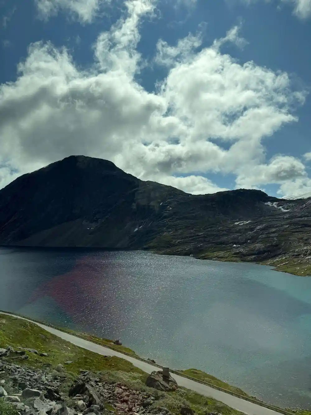
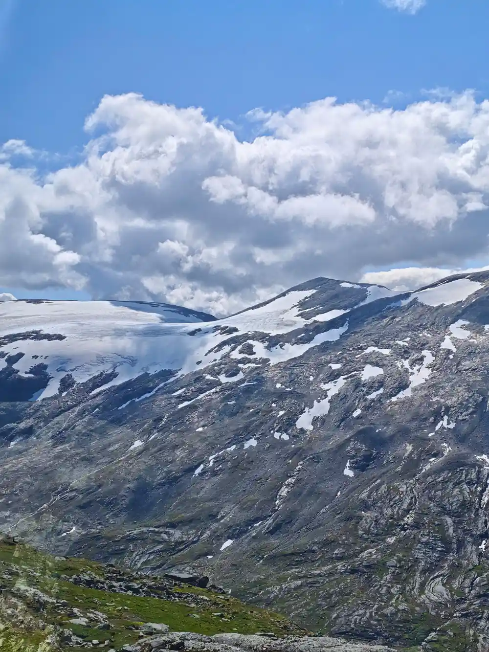
Not everyone who wants the view from above wants the climb. The Dalsnibba coach tour booked from this site stops at Flydalsjuvet, Dalsnibba, Djupvatnet and Eagle Bend in 3.5 hours, from US$116, and Dalsnibba stands 1,476 metres above sea level.[1][3]
Height gain on Geiranger trails
Metres of climbing per route, as printed on the local trail map.[3]
Price a way to the heights above Geiranger
Every figure is a "from" price for one adult and not a quote. Child prices may differ, so check the listing for your own party before you book.
When the Geiranger trails are open
Planning a Geiranger hike
Pick a trail by height gain
Each lettered route on the hiking map lists its distance and climb, from 20 metres to 900 metres.[3]
Check the season and snow
Most trails suit late May to the end of September, and rock fall or avalanche risk can rule some out.[2]
Sort transport to the start
Drive four kilometres to Vesterås farm, walk the Fosseråsa trail, or book the boat drop-off at Skagehola.[4][7][9]
Pack for changing weather
Shoes with good grip, a windproof jacket, water and a snack, and light gloves early in the season.[10]
Tell someone your route
Report your destination, walk in a group if possible, and call 113 or 112 in an emergency.[2]
Not hiking? The Dalsnibba coach tour takes you to 1,476 metres
from US$117Reserve now & pay later